
.jpg?w=60&h=60&dpr=1.5)


.jpg?w=305&h=230&dpr)


- 4D/3N
- 4D/3N
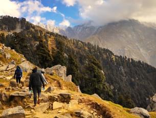
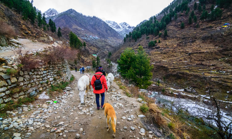
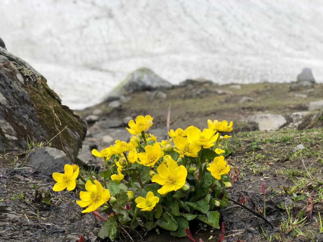
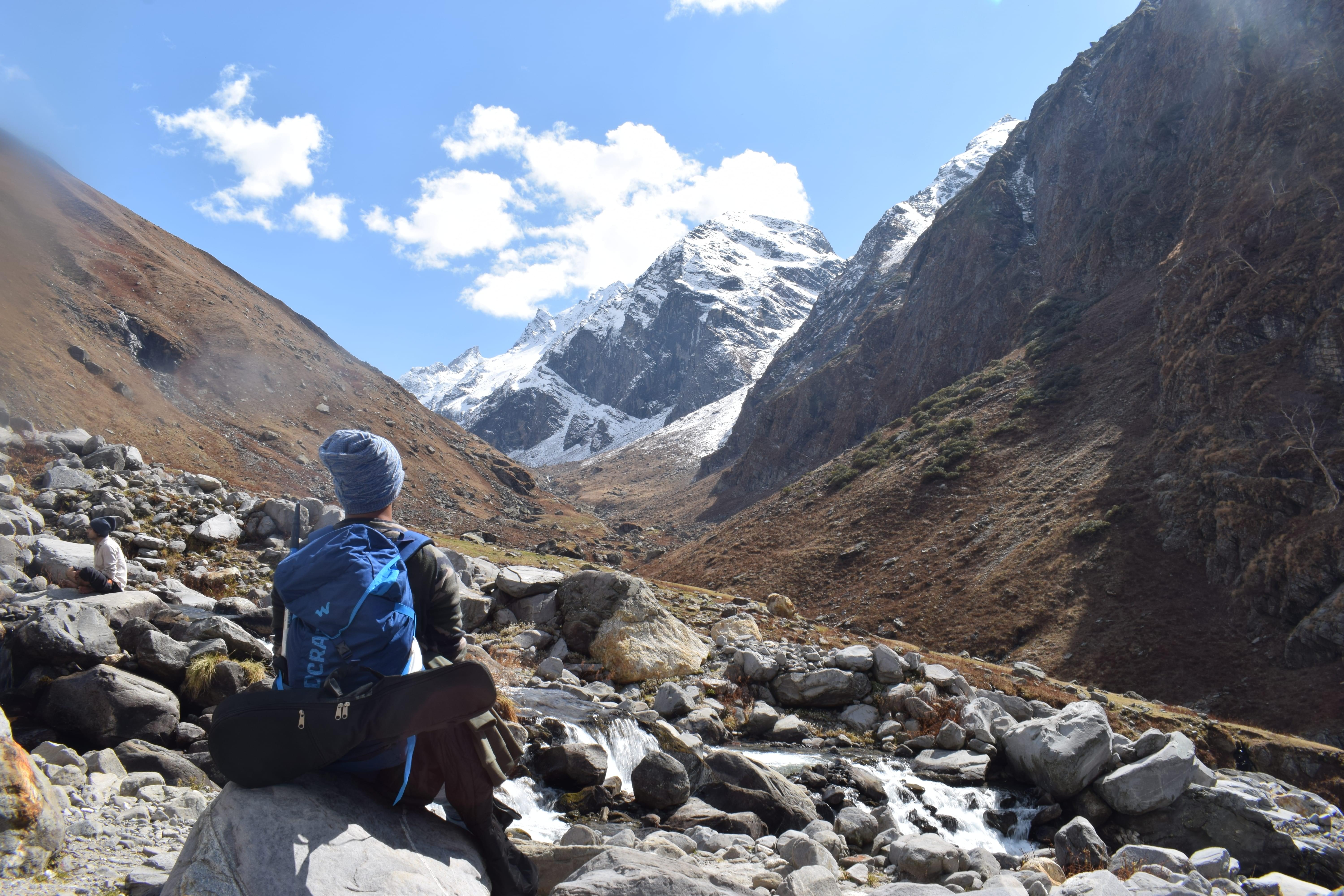
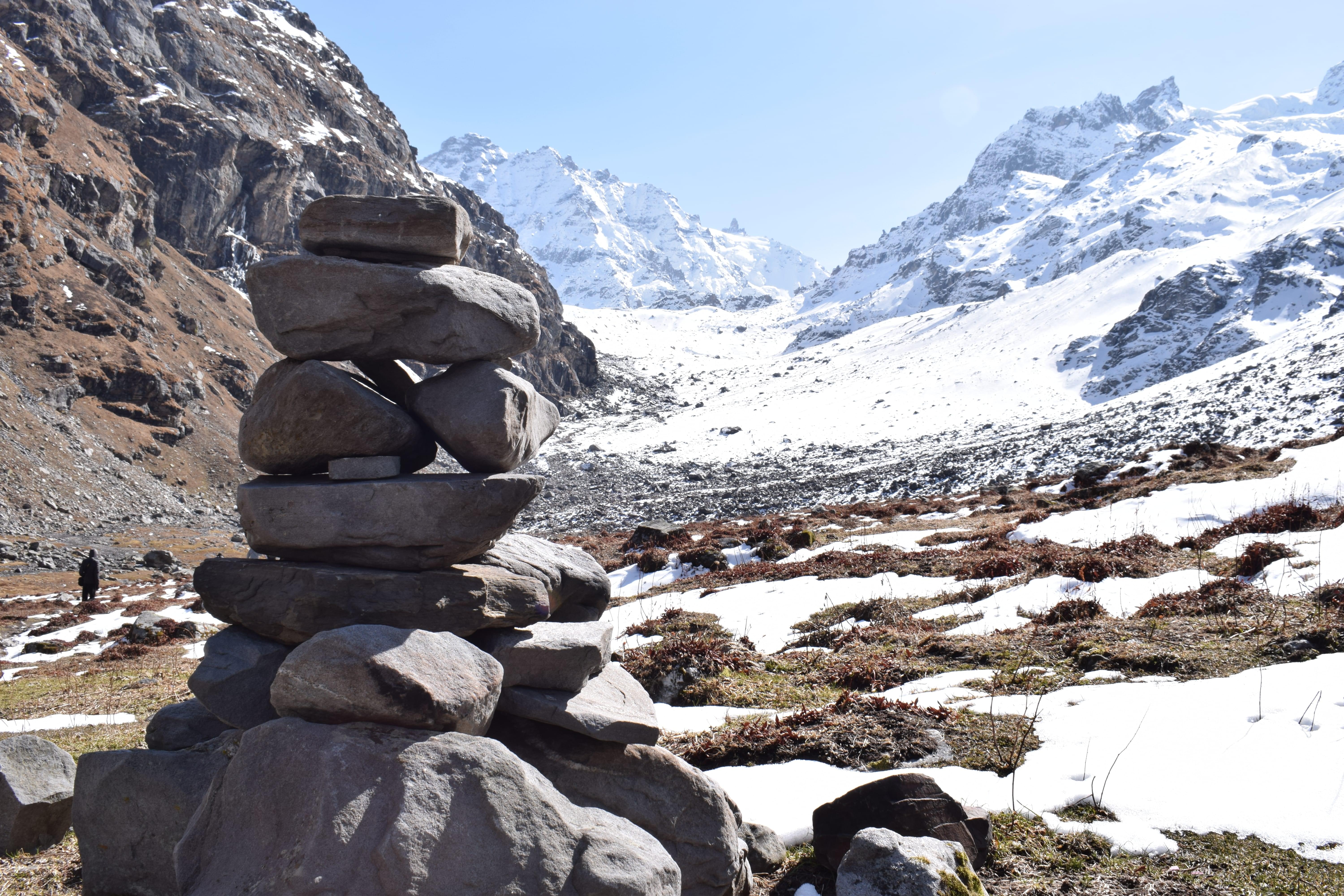
About the Beas Kund Trek:
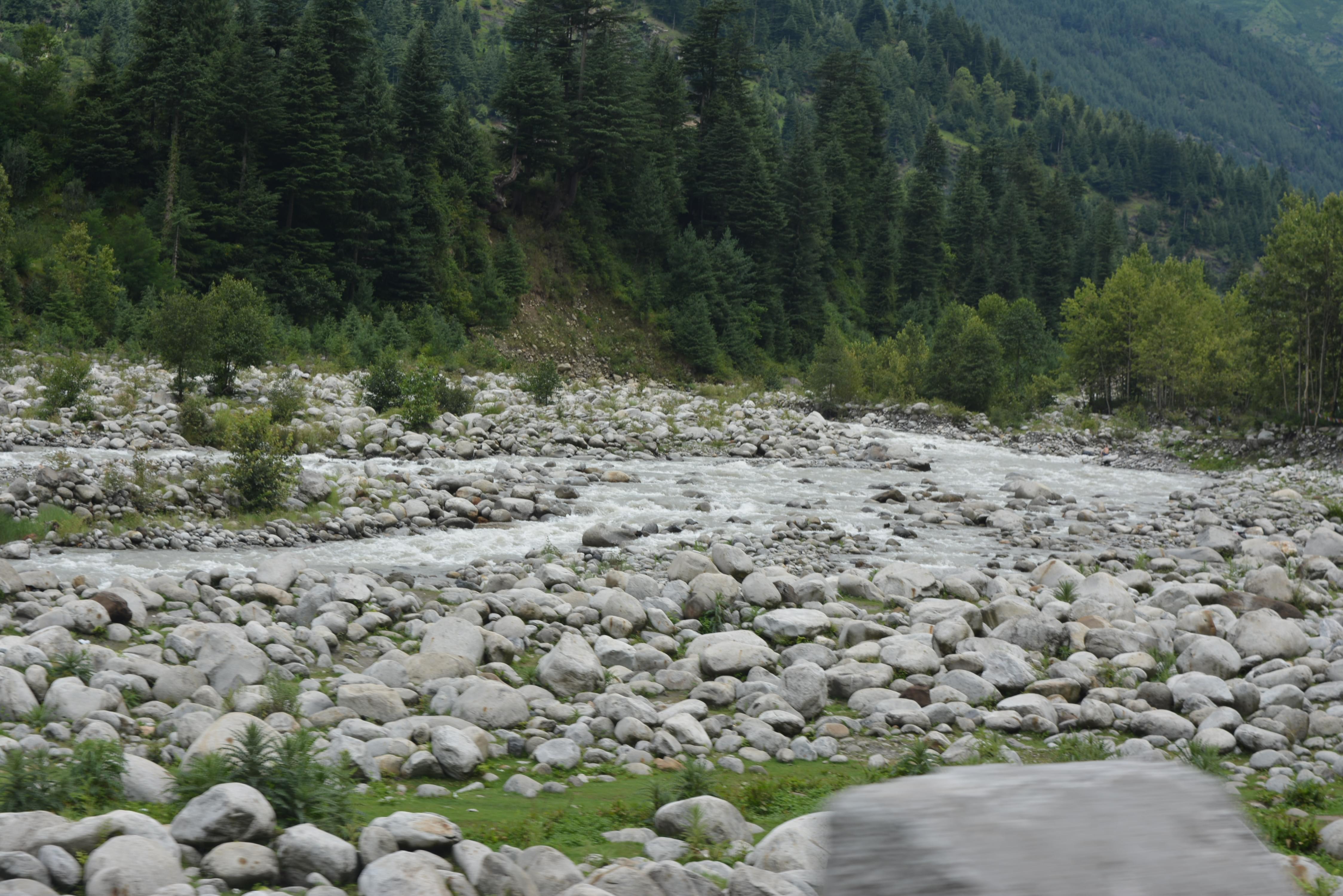
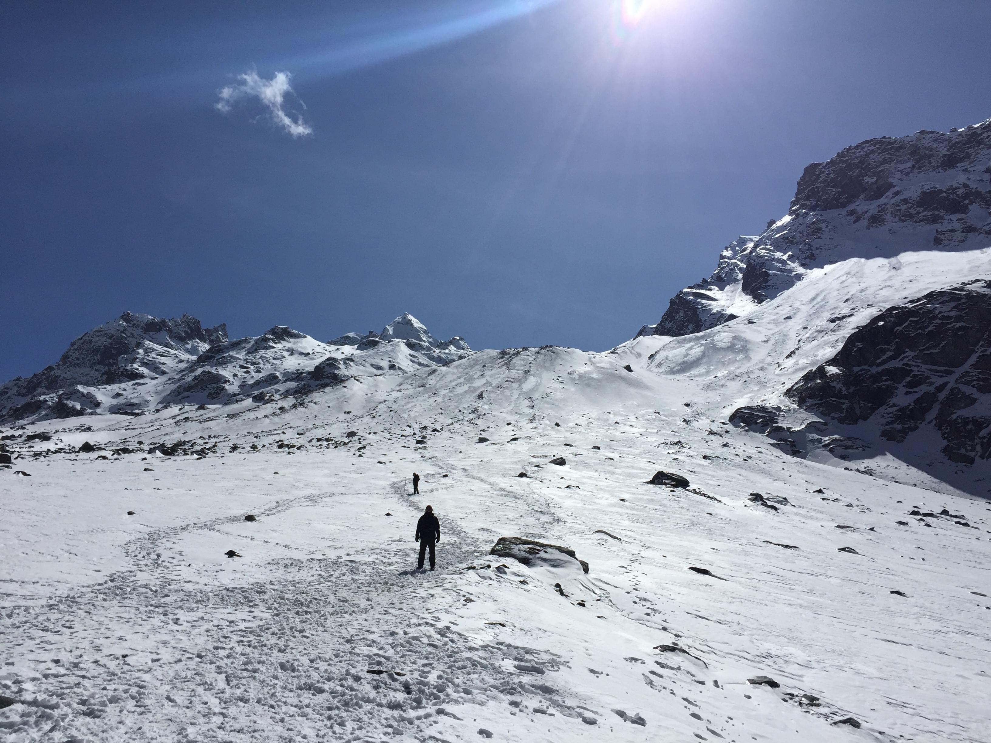
Embark on an enthralling trekking expedition with this Beas Kund Trek that lets you traverse through the lush green grasslands and tall mountains of this scenic location, Manali. Soothe your senses with the views of the picturesque lake through which the river Beas emerges and spot a contrasting sight of the crystal clear waters of the river, based amidst the eye-catching mountain peaks of Pir Panjal.
Conquer the mighty mountains of Himachal Pradesh and reach an altitude of 3,700 meters at Beas Kund to catch glimpses of summit views of big mountains of Manali like Friendship Peak, Shitidhar, Ladakhi, and Hanuman Tibba.
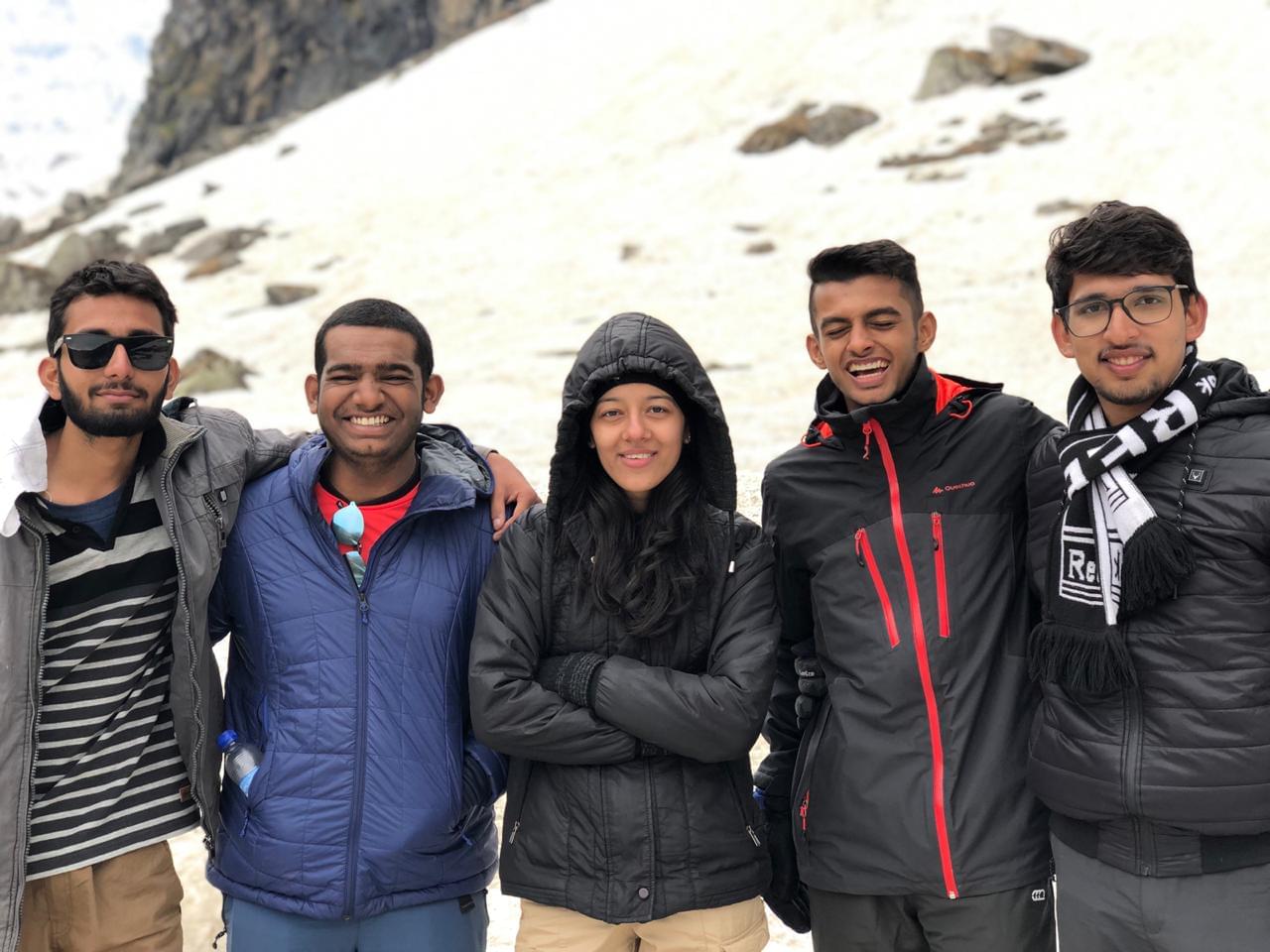
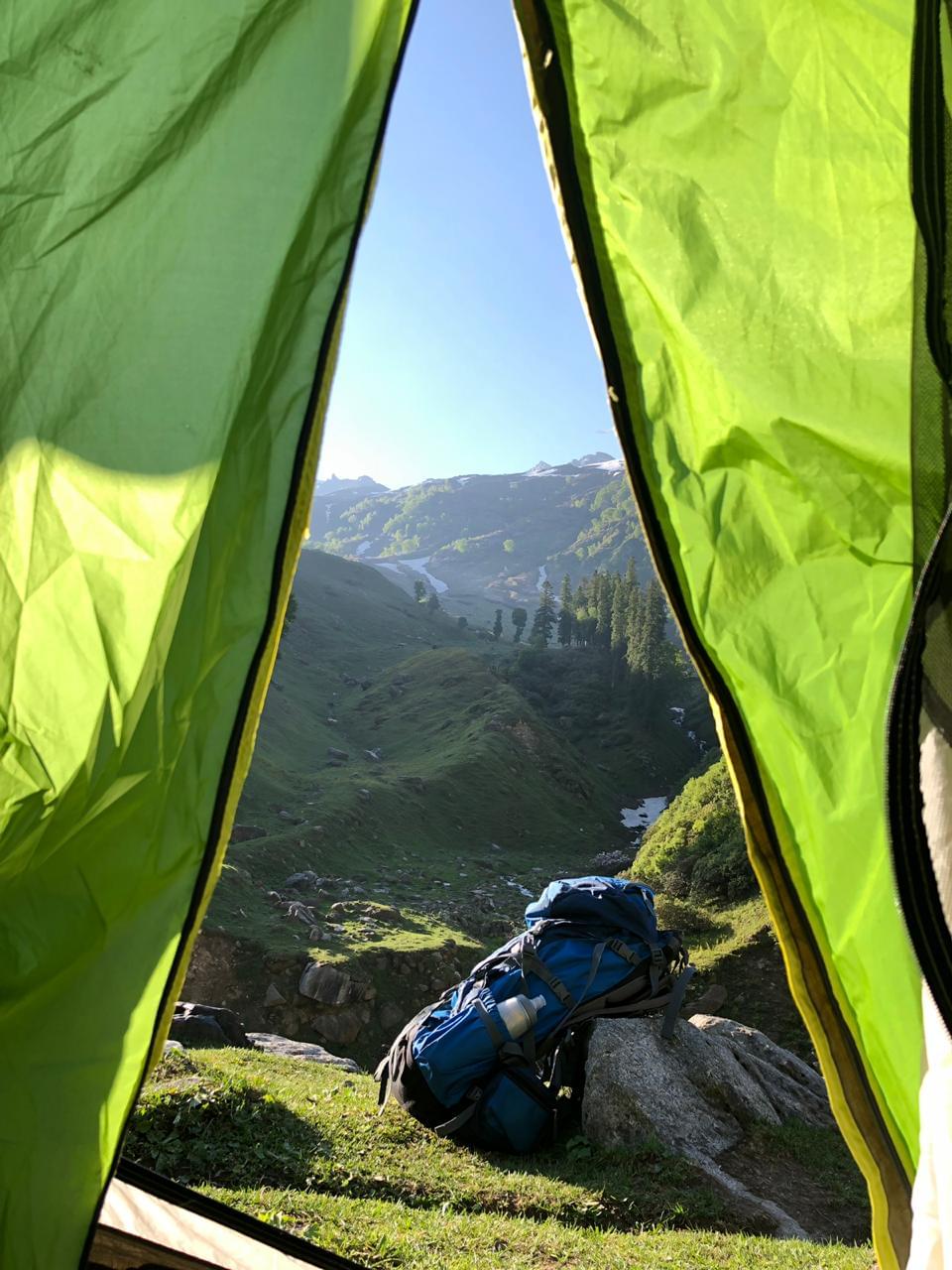
Besides, you can treat your eyes with the rare glimpses of Mt Indrasen, Deo Tibba, and more such peaks from the Pir Panjal range, if you are fortunate enough. Enjoy a delightful camping session during the thrilling trekking expedition, when you spend the chilly night stargazing at the vast expanse of star-studded night skies in your tent.
Beas Kund Trek Quick Facts:
- Beas Kund Trek Distance: 16 km
- Beas Kund Trek Height:12,139 ft
- Difficulty Level: Easy To Moderate
- Electricity: There will be no electricity at the campsite on the trek.
- ATM: Manali is the last point where you will get ATM
- Start Point/End Point: Beas Kund Trek starts from Old Manali and ends at Solang Valley
- Start Time/End Time: The trek starts at 10:00 AM (Day 2) and ends around 2:00 PM (Day 4).
- 10D/9N
- 10D/9N
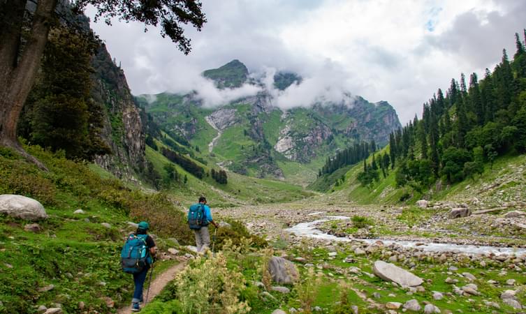
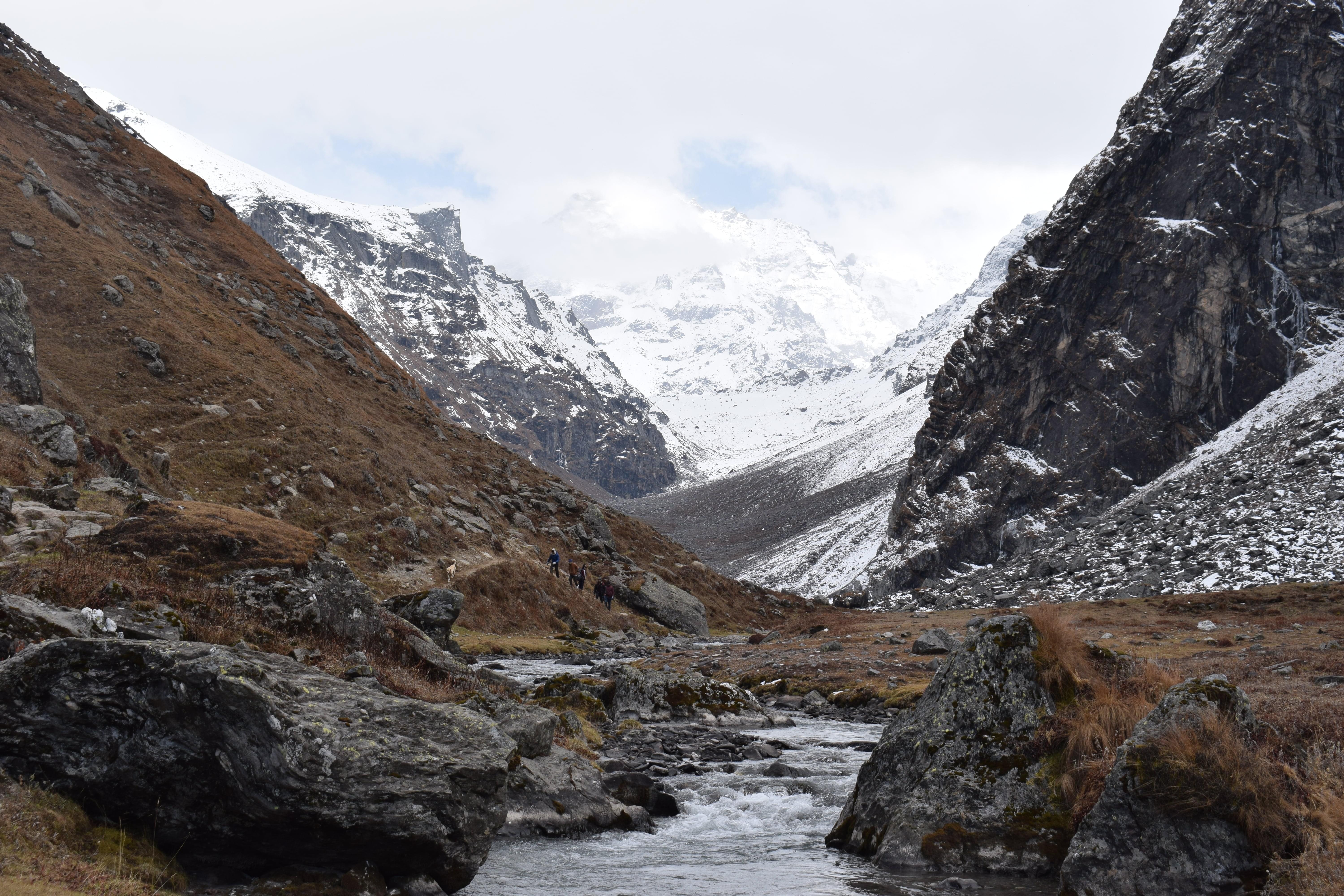
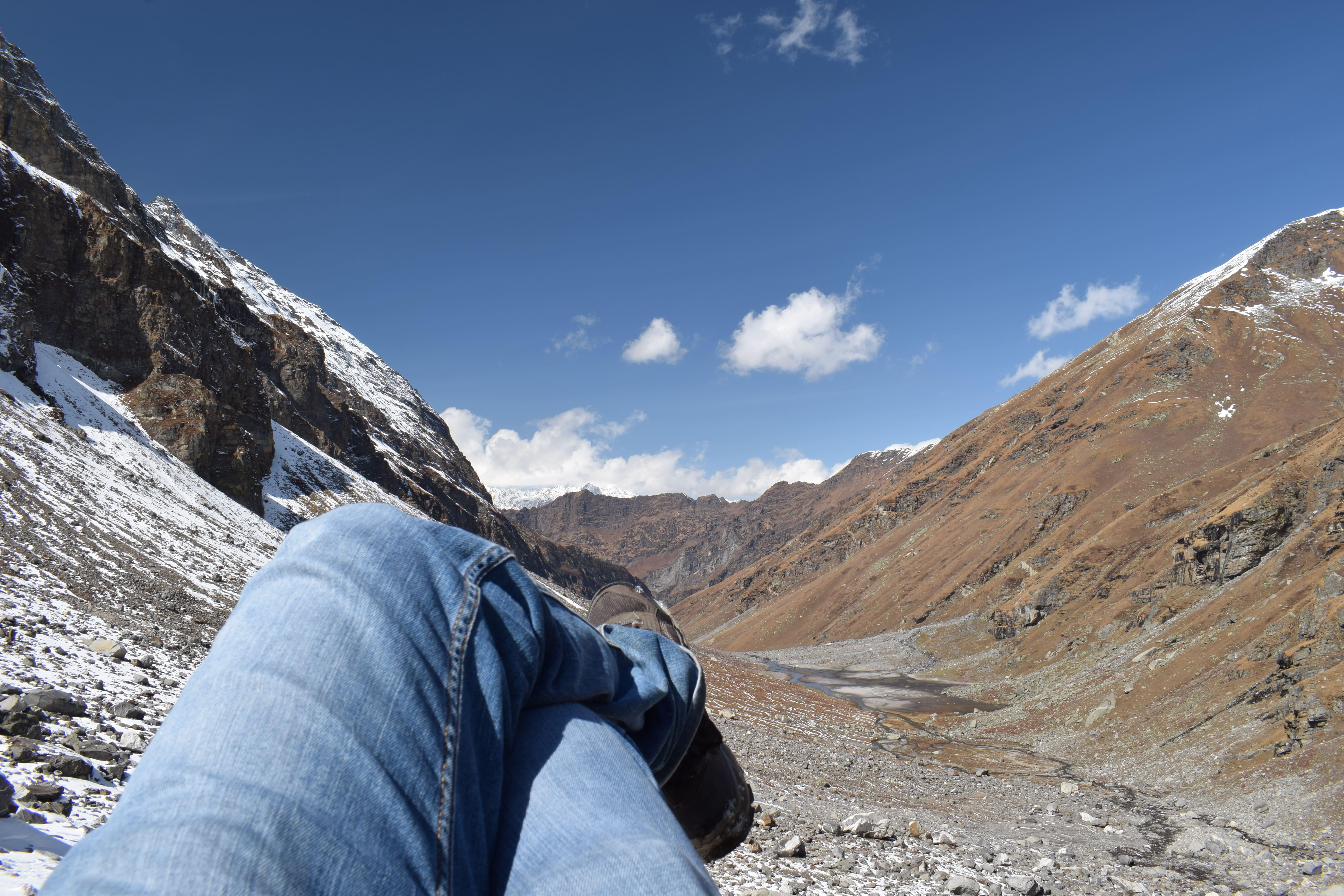
About Pin Parvati Pass Trek:
The trail is wrapped in a lush green forest and in mighty green valleys. An alternate passage to the Spiti Valley in Himachal Pradesh, the Pin Parvati Pass trek is one of the most enthralling and challenging trekking trails in India.
Mantalai, known for its age-old Lord Shiva temple and the charming lake, is the jovial host during the trek to Pin Parvati camp. Manali, with plenty of trekking options, comes up with the best in its kit, which is the Pin Parvati Trek, leading the trekker up to 17457 feet in height. This trek will take you on a journey to heaven and prevent you from returning to your chaotic city life.
Quick Facts About the Pin Parvati Pass Trek:
- Duration: 10D/9N
- Maximum Altitude: 17,457 ft
- Pin Parvati valley trek difficulty level: Difficult
- Pin Parvati trek distance: 110 km
- Temperature: Day: 16°C to 20°C and Night: 0°C to 4°C
- Pin Parvati trek best time: July to September.
- ATM: Manali has the last ATM point before your trek begins.
- Start Point of the Pin Parvati Valley Trek: Barshani, near Kasol
- End Point of the Pin Parvati Valley Trek: Kaza.
How to Reach Barshani:
- By Air: To reach Pin Parvati Trek by air, you need to fly to Kullu-Manali Airport. Once you’re at the airport, you can take a taxi or bus to reach Manali. The distance from the airport is 50 kilometres and will take around 1 hour 20 minutes to reach. Once in Manali, you can arrange a private vehicle or local transport to reach the starting point of the trek which is Barshaini. It will take 3 hours to reach Manali.
- By Train: If coming by train, arrive at Joginder Nagar Railway Station in Himachal. From there, you can take a taxi to Bhuntar which will cover a distance of 96 kilometres in 3 hours. Once at Bhuntar, you can take a taxi or bus to reach Manali. From Manali, you can reach via bus to Barshaini Village, the starting point of the Pin Parvati Trek itinerary, which will take 3 hours to reach.
- By Road: You can reach Pin Parvati Trek by road from Delhi or Chandigarh. The most convenient way to reach Manali is via NH44. From Delhi, Manali is 505 kilometres and will take around 10 hours to reach. From Chandigarh, Manali is 272 kilometres and will take 6 hours to reach. Once at Manali, drive to Bhuntar village near Manikaran.
- 2D/1N
- Kasol
- 2D/1N
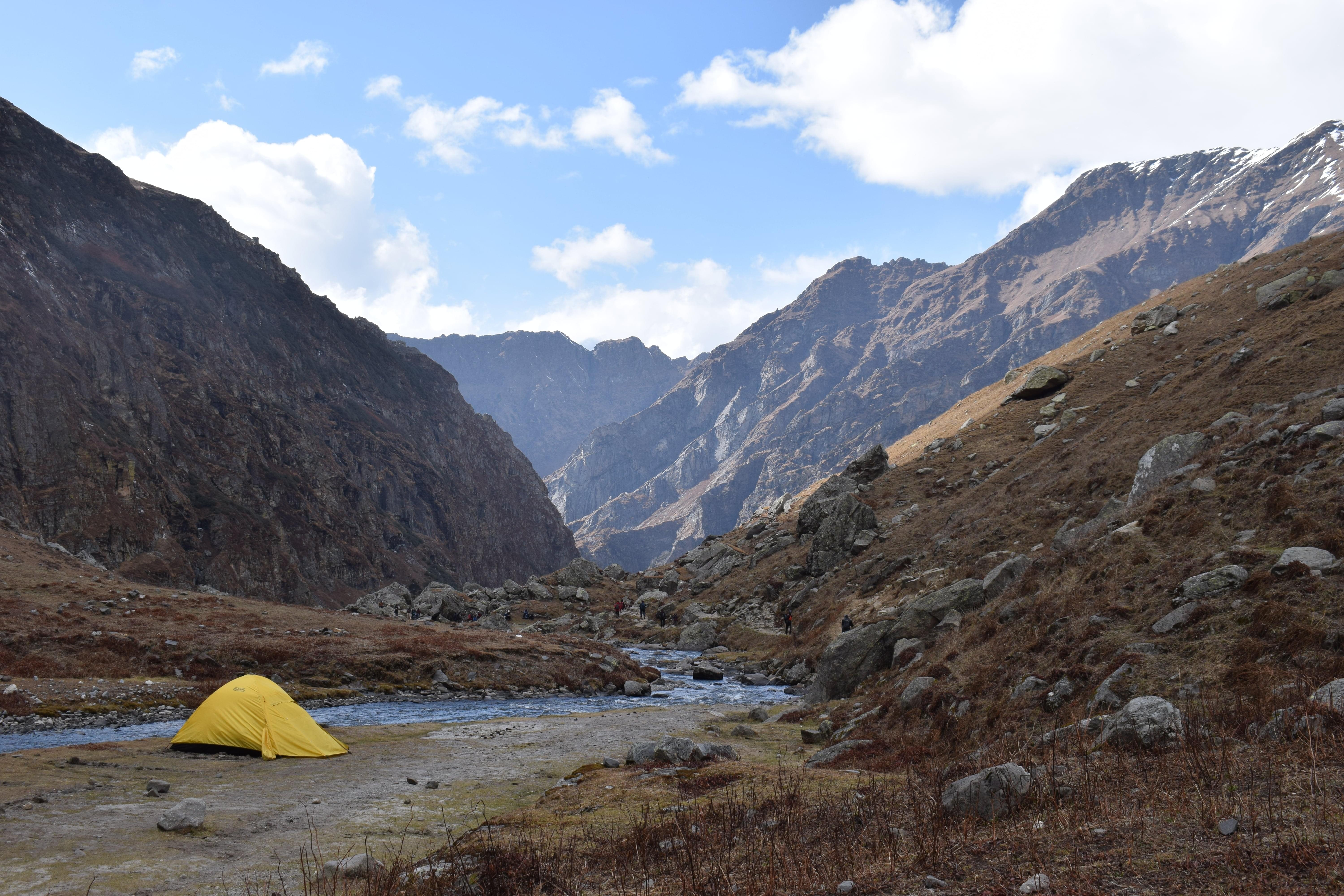
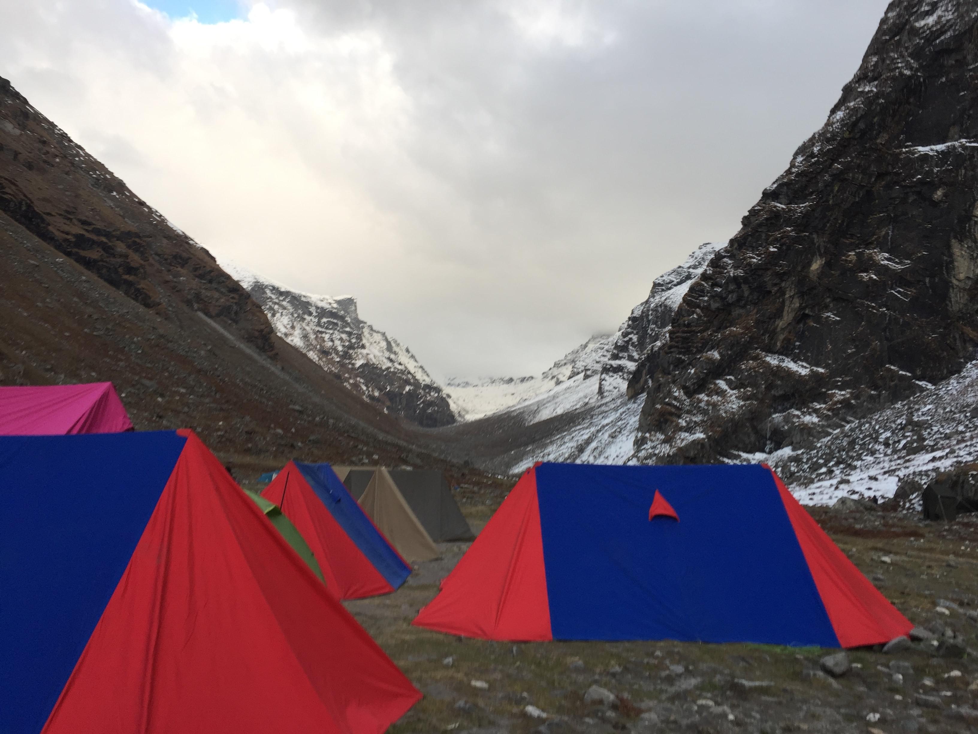
Camp Location: Kheerganga, Barshaini, Himachal Pradesh
Start Point/End Point: The trek starts from Barshaini and ends at Barshaini only.
Start Time/End Time: The trek start at 10:00 AM on day 1 and ends between 11:30 AM to 12:30 PM on day 2.
About the Destination:
Perched at an elevation of around 3,050 meters above sea level, Kheerganga can be reached by hiking the 24 kilometers long picture-perfect Kheerganga Trek. Nestled at one end of the majestic Parvati Valley, this ever-charming destination treats the trekkers’ eyes with its verdant greenery and panoramic skies.
The sacred destination of Kheerganga is home to a holy bathing tank, an age-old shrine of Lord Shiva, and a beautiful hot water spring. Getting to take a bath in the hot water when everything around is shrouded with snow is a dream for all trekkers and Kheerganga Trekking actually rewards the tired trekkers by granting this wish!
About the Kheerganga Trek:
Kheerganga Trek is one of the most well-known trekking destinations in Himachal Pradesh and is located deep in the Parvati Valley. For this guided trek, you have to meet us in the beautiful hill station Barshaini which is the starting point of this trek. Along your way to Kheerganga Trek, you will explore Rudra Nag village. The scenic hamlets mark a space for the perfect stops and are ideal to delve into the local culture of Himachal Pradesh.
You can enjoy the local food and cafes on the way. After a while, you will reach the Rudra Nag temple. As you cross the waterfall, the path gets a little steeper and then you will start spotting the blue and yellow huts which indicates the final milestone of the trek i.e Kheerganga top. Upon reaching Kheerganga, you can head straight for the Parvati Kund, or the natural hot water springs, which become all the more attractive in the winters. After reaching the top, you can relax into the alloted camps and enjoy the music session to be organized at the campsite is the cherry on the top.
Quick Facts About Kheerganga Trek:
Kheerganga Trek Distance: 24 km
Maximum Altitude:9,700 ft
Kheerganga Trek Difficulty Level: Easy To Moderate
Electricity: Electricity will be available in Kheerganga campsite.
ATM: Kasol is the last point where you will get ATM.
Trekking Gradient: Steep ascent throughout the trail
This Kheerganga Trek offers two options of stay as mentioned below:
Variant 1
Alpine Tent stay - with common washroom
How to reach the campsite?
You have to report at Barshaini which is the starting point of the trek and it is around 22 km from Kasol. Many local transports and private cabs are available from Kasol to reach Barshaini.


- 2D/1N
- Mandi
- 2D/1N
Starting & Ending Point: Panarsa
About Prashar Lake:
With views fit for a king, the trail, leading to the lake region i.e. from the city of Mandi to the little village of Apple village Jawalapur, become private and exclusive to every group that visits. The setting of the campsite in Prashar Lake location is yet another pleasant surprise because of its closeness to the water and its harmony with nature.
Prashar Lake trek (2,730m), which happily takes people to the lake which is completely frozen in the winter and a dazzling beauty otherwise, is considered to be an important trek in Himachal Pradesh. It has in day: 13°C to 18°C , in Night: 0°C to 7°C and maximum altitude 8,956 ft.
The picture-perfect blue water lake is surrounded by the majestic Dhauladhar Ranges in Kullu Valley and it is always kept as a secret in the Mandi district of Himachal Pradesh.
About the Prashar Lake Trek Package:
Tour will be started from Panaras through driving you will reach Apple village Jawalapur and from where your trek will start for Prashar Lake. You will have camp stay at beautiful lake site for one night and in morning again you will trek till Apple village Jawalapur from there you will drive by to Panarsa. During this trek, you will be going through the charming trails crossing the forests and several small streams. All meals for the Prashar Lake trek is included in the package.
Apart from trekking you will have sightseeing, bonfire at camp and as per weather yoga meditation as well. As you climb the trails up, you will come to meet the local people and it is the best chance to know the indigenous culture closely. Also, once you finish the trek to Prashar Lake, you will have a satisfied heart filled with plenty of beautiful views of Dhauladhar, Pir Panjal, and Kinnaur mountain ranges.
There is a surprisingly beautiful attraction near the lake that is the local temple of Prashar Rishi which has a lot of significant architectural brilliance carved on the walls. If you're in the mood for some outdoor adventure and want these memories to be etched forever, then make Prashar Lake trekking the trek of your choice!
About Camping:
For a decent stay, you can opt for alpine tents with common washroom facilities. All tent offers amenities like mattresses, pillows and clean linen. In the evening enjoy the musical night with a bonfire.
Quick Facts About Prashar Lake Trek:
Trekking distance: 24 km
Maximum altitude: 2730 m
Prashar Lake Trek Difficulty level: Easy To Moderate
ATM: Mandi is the last point where you will get an ATM
Meals during your Prashar Lake Trek:
Breakfast, lunch and dinner (vegetarian and non-vegetarian) are included in the package
Stay during your Prashar Lake Trek:
Transit Room on the day of arrival in Panarsa for freshen-up
Clock Room to leave any extra stuff at Panarsa
Stay at Prashar Lake (Camping)
Double/ triple/ Quad sharing Basis in camps
How to reach :
Nearest railway station is Shimla and nearest airport is Bhuntar Airport, Kullu from there one can reach by bus and private vehicle. One can also take a direct bus from Delhi to Panarsa.
Note: The group package is available on weekends. Private trek can be arranged for more than one adult.
Best of


- 2D/1N
- Kasol
- 2D/1N
Starting time of the trek: 10:00 AM on day 1
End time of the trek: 11:30 AM to 12:30 PM on day 2
Camping Location: Tosh Village, Himachal Pradesh
Indulge your visual senses as you take on the Tosh valley trek, a trail that will take you across the periphery of the mighty Himalayas. A village at the end of the Parvati Valley in Himachal Pradesh, Tosh is situated at a height of 7,874ft and leads to the beautiful Pin Parvati Pass. The Tosh River here is an offshoot of the Parvati River, which suckles into the main river at Pulga. An amazing point to note here is that the valley of Tosh is actually home to a tributary of the river Parvati, which also goes by the name River Tosh. This means that as soon as you arrive at a point after the trek to Tosh, where a smaller river stream is feeding its waters into the grand Parvati Valley, you have arrived at the beginning point of Tosh Valley.
Quick Facts:
Temperature Range: The average temperature here ranges between 2°C and 7°C and dips below the freezing point in winters.
Tosh Valley Trekking distance: 6 km
Tosh Trek Difficulty Level: Easy
Starting and Ending Point: Barshaini, Kullu
Best time to visit Tosh Valley: April to October would be the best time, though pleasant weather can be seen throughout the year. November to February would be a good time to see snow and experience freezing cold.
How to reach the campsite?
You have to report at Barshaini which is the starting point of the trek and it is around 22 km from Kasol. Many local transports and private cabs are available from Kasol to reach Barshaini.
Best of
.jpg?gravity=center&width=90&height=90&crop=fill&quality=auto&fetch_format=auto&flags=strip_profile&format=jpg&sign_url=true)


- 4H
- Kullu
- 4H
Bijli Mahadev is one of the sacred temples of the Indian state of Himachal Pradesh. It is located at an altitude of about 2,460m in the Kullu Valley. Himachal Pradesh is truly a land of wonders and that is exactly what you will see in the cultural hub of the State, the city of Manali. Explore the nature trails of a city and experience secrets in its kitty in the beautiful city of Manali. Enjoy the company of tall trees and beautiful landscapes with this trek.
About Bijli Mahadev Trek:
- Bijli Mahadev Trek is one of the amazing trek to see the famous temple in Kullu valley, Bijli Mahadev temple, nestled amidst the frozen valley with cedar forests around.
- Report at Chansari village in Kullu. You will meet your guide there and start the trek towards Bijli Mahadev temple.
- Walk up to 2460 meters height to find solace from the very sacred place in Kullu.
- Indulge in a very peaceful trek to the top of the hill from where you can see the Kullu and Paravati valleys and enjoy the salubrious nature with a hot beverage.
- Later take the same trail to return to Manali/Kullu
Quick Facts About Bijli Mahadev Trek:
Location: Chansari VIllage Kullu, Himachal Pradesh
Bijli Mahadev Trek Start Time: 10:00 AM
Bijli Mahadev Trek End Time: 02:00 PM
How to reach Bijli Mahadev?
The Chansari Village has located around 55 Km from the Mall Road of Manali. You can board a private cab to reach the village.
Note: Pick up and drop will be at Mall Road Square, Mall Road if opted for guided trekking experience with transport and minimum 3 members are required to avail pick up and drop service.
Best of


- 4D/3N
- Manali
- 4D/3N
About the Patalsu Peak:
An astounding peak that reaches up to 4,220m (13,845ft), the Patalsu Peak boasts of its scenic beauty and enchanting appeal. Located within the close proximity of the picturesque Kullu Valley, this soaring peak makes for an ideal trekking destination and is also one of the most sought after trekking destinations in the region.
With moderate to challenging gradients, it entices a large number of trekkers from across the country. Though considered as a difficult one, the summit is a window to the expansive Himalayan grandeur, with giants like Friendship peak, Manali peaks, and Shitidhar looming up right before you!
About the Patalsu Peak Trek:
Nestled at the head of the beautiful Kullu valley in Himachal Pradesh, Patalsu Peak climbs up to staggering heights of 4,220 meters to offer unmatched views of the surrounding Himalayan canvas. It is one of the most widely sought after treks in Himachal Pradesh. Though moderately challenging, the Patalsu Peak trek is ideal for very fit beginners. The trek pushes you through some steep inclines, narrow ridges and moraines, sure, but the backdrop of the engulfing snowy peaks make every minute of exertion worth it!
The trek starts from the very famous Solang valley, and the trails coil through quaint little hamlets, alpine meadows and beautiful dense forests of oak and pine. It is also not uncommon to spot avian species like Khaleej and morals during the trek. The route to Patalsu Peak is lined with evergreen forests and eventually morphs into a rugged, uneven terrain.
The magnificence of the mighty Himalayas lay bare, unveiled for you. Let your senses get lulled into a magical trance, and your soul feel right at peace amidst the wonderland of the Patalsu Peak trek.
Quick Facts:
Trekking Distance: 16 km
Maximum Altitude: 13,845 ft
Difficulty Level: Easy To Moderate
Electricity: Electricity will not be available at the campsite.
ATM: Manali is the last point where you will get ATM.
Best of

- 4D/3N
- Manali
- 4D/3N
About the Activity:
- Start by arriving in Manali and get oriented about the place and the trip
- Stay in a camp here and start a trek to Lamadugh the next day
- The next day will be dedicated to a visit to the famous Jogini waterfalls and a dip in the hot water springs of Vashisth
- You will be ending you trip in Old Manali as you check out of the camp arranged for you
Best of


- 4D/3N
- Manali
- 4D/3N
Start Time - 10:00 AM on Day 1
End Time - 12:00 PM on Day 4
About Chandrakhani Pass:
Located at an elevation of around 3,660m, the Chandrakhani Pass makes it for an astounding trek experience in the Kullu Valley of Himachal Pradesh. Originating from the scenic Naggar settlement, which is located around 21km from Manali, the trail that leads to the pass is known for its enchanting beauty and appeal. From the pass, one can enjoy the fantabulous views of the Deo Tibba, Parbati, and Pir Panjal peaks. Also, jotted with luscious groves of pine, deodar, golden oak and cherry, this pass boasts as one of the most scenic and pictorial passes in the country.
About the Trek:
The Chanderkhani Pass trek will give you a feeling of isolation from the rest of the world as some of the trails are hidden from the human eye. Over the 3 exciting days of the trek, you will be making your way through breathtaking viewpoints and meandering trails through the thick forest of firs and oaks. Each and every step of the trek is bestowed with astounding views of the towering peaks and makes it for an unforgettable experience! On a whole, this trekking expedition will get you acquainted with the serene, pictorial and heavenly environs of Himachal Pradesh and its natural wonders.
Quick Facts:
Trekking Distance: 26 km
Maximum Altitude: 12,030 ft
Difficulty Level: Easy To Moderate
Electricity: Electricity will not be available at the campsite
ATM: Naggar is the last point where you will get ATM
How to Reach:
Naggar is 23 KM from Manali. You can take public or private transport from Manali bus stand to reach Naggar.
Best of


- 6H
- Manali
- 6H
Reporting Point & Time: Bahang Village, Manali at 11 AM
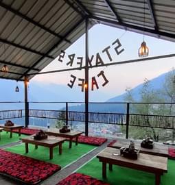
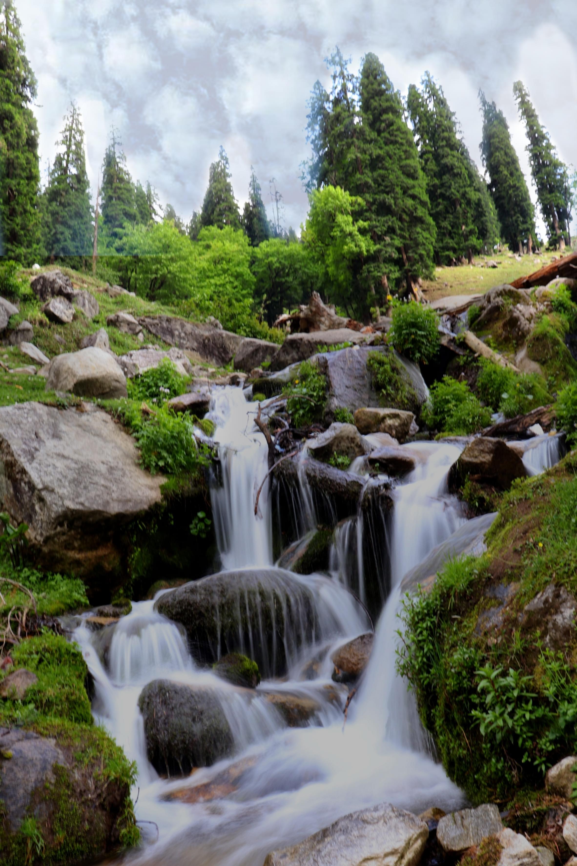
Waterfalls in hills are some of the most scenic sights, with all the green beauty around them and the splashes of water are a treat for the eyes. Close by Manali, the Jogini Waterfalls are one of the most amazing sights that you can see in the area. Jogini Waterfall Trek takes you to an amazing trail leading to the cascading Waterfalls in Vashisht, allowing you to click some amazing pictures and spend time admiring the waterfalls.
The 7 km trek will take about 6 hours to complete and will also include a visit to the Jogini Mata Mandir. The guide will assist you with the trails and he is familiar with the routes of the trek, he will let you know the right places to get the pictures clicked. One time packed lunch will be provided to the trekkers as per there preferences. Arrive back in Bahang Village via the same trail to bring the experience to an end.
Jogini Waterfall Trek Additional Information:
Age Limit- 6 to 55 years
Preferred weight limit- 25 KG to 90 KG
How to reach the starting point?
The Bahang Village is located around 5 Km from the Mall Road of Manali. You can board a private cab to reach the village.


.jpg?w=305&h=230&dpr)


.jpg?w=350&h=210&dpr)
.png?w=350&h=210&dpr)


.jpg?gravity=center&width=255&height=270&crop=fill&quality=auto&fetch_format=auto&flags=strip_profile&format=jpg&sign_url=true)


.JPG?attachment_model=Upload&attachment_name=photo)
.JPG?attachment_model=Upload&attachment_name=photo)
.JPG?attachment_model=Upload&attachment_name=photo)
.JPG?attachment_model=Upload&attachment_name=photo)

.JPG?attachment_model=Upload&attachment_name=photo)
.JPG?attachment_model=Upload&attachment_name=photo)