


Pass Treks in Himalayas
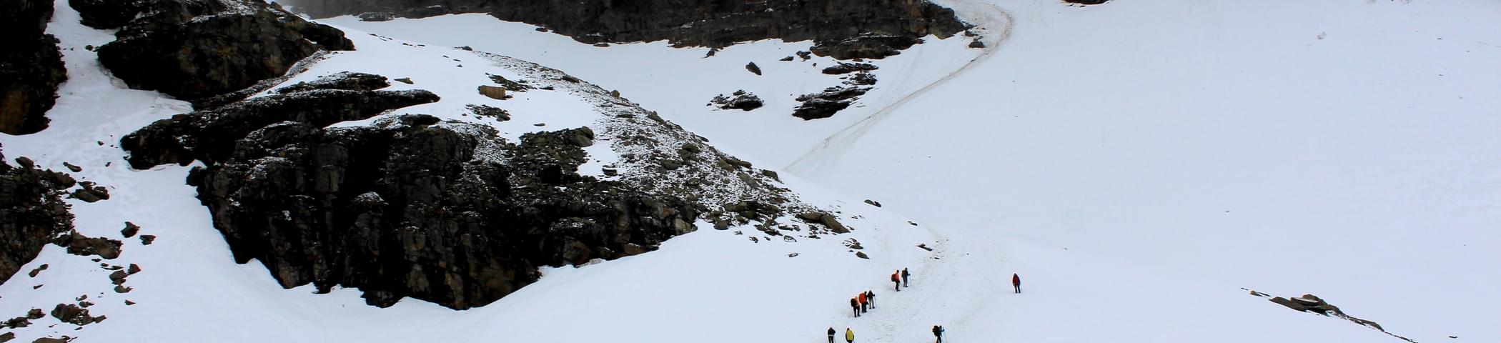
Owing to an uncountable number of passes in mountains, there is an extensive range of pass treks in Himalayas which are popular among adventure enthusiasts all over the world. Mountain passes are basically the routes or paths in the mountains that enable crossing or movement from one mountain to another. When there were not any metal roads in the mountains, these passes played a great role in movement during wars, facilitated migration and also served as trade routes. Now, these high mountain passes serve as a playground for trekking enthusiasts. So, in a way, it is a transformation of tradition into an activity of passion.
The experience of trekking in the Himalayas is an experience that tends to become an essential part of your memory, ornamented with all the joyful moments you spend cherishing the beauty of nature and embracing the thrill of adventure in picture-perfect landscapes. The mountain passes of the Himalayas are picturesque and enthralling, and attract a large number of thrill-seekers all round the year. Most of these passes can be accessed throughout the year, so you can decide whether you want to witness the snow-white Himalayas or you wish to treat your eyes with various vibrant shades of Himalayas.
Some of the most popular of all the Himalayan passes among trekkers are Hampta Pass, Kuari Pass, Indrahar Pass, and Rupin Pass. From treks that should only be preferred by experienced trekkers to treks that are suitable even for beginners, pass treks in Himalayas come in a variety. The trails for these passes offer unbelievably scenic vistas and the summits offer views that will get etched on your memory forever. Are you ready for your next Himalayan adventure?
