


Himalayan Treks in July
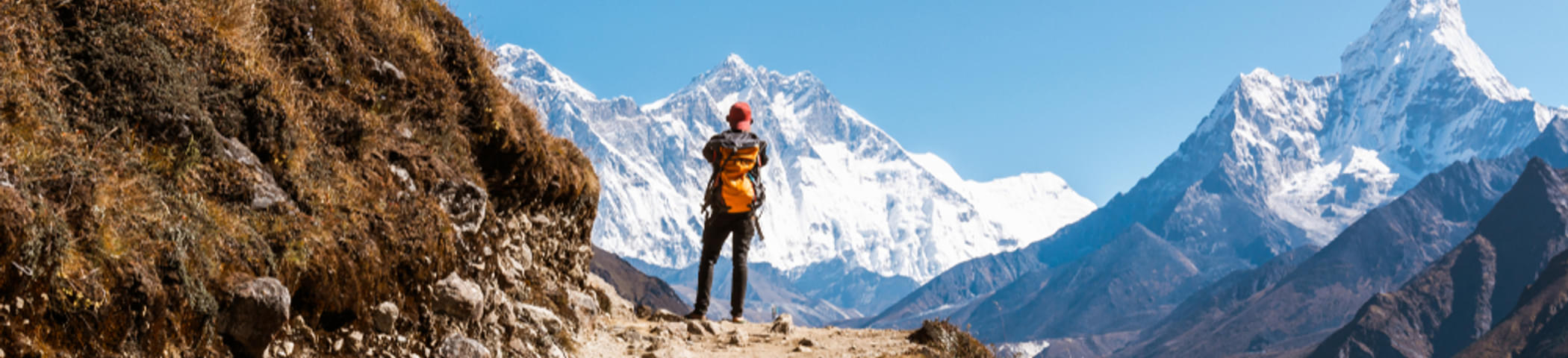
If you want to indulge in the adventure of Himalayan treks in July, you must know that the mighty mountains offer a number of treks that will enchant you with their lush green meadows, teeming with colourful flowers. The vivacious colours in the surroundings are a common phenomenon on the treks due to the showers and the melting snow during the month of July. While nature exhibits its best colours under the rains, there are treks that will leave no stone unturned to leave you spellbound with the picturesque landscapes they take you through.There are several treks in the Himalayas to take in July to satisfy your wanderlust soul. The best treks undertake in the month of July include the Great Kashmir Lakes Trek, the Valley of Flowers Trek, the Roopkund Trek, the Hampta Pass Trek, Pin Parvati Trek, Deo Tibba Trek, the Nubra Valley Trek to name a few. These treks cater to the adventure needs of different types of travellers. While the Kashmir Great Lakes Trek is an excellent trek to discover for yourself why Kashmir is called ‘paradise on earth,’ the Valley of Flowers Trek is a trek that will enchant the nature lovers with the vibrant colours of flowers against the backdrop of snow-capped mountains.
During this time of the year, the temperatures in the Himalayas are most favourable for trekking. The pleasant weather will make you want to walk into the canvas of nature and make it a way of life forever. If you are accompanied by your friends on the Himalayan treks, the fun will be multiplied because the treks offer various adventurous activities such as rock climbing, river crossing, rappelling, camping, etc. which you can try with your friends and make memories for a lifetime. Share life experiences in the most serene places and freeze the moments forever in your camera.
The Himalayan treks in July are equally popular amongst photographers, nature lovers and adventure enthusiasts. The lush greenery of the mountains will make you fall in love with the landscapes and the gushing waters dripping from the melting ice will fill your soul with a sense of tranquillity. And you will go on admiring the wonders of nature all along the trek.
So, pack your backpacks, pull up your socks and visit these Himalayan treks immediately to make friends and memories!
