


.jpg?w=305&h=230&dpr)


- 4D/3N
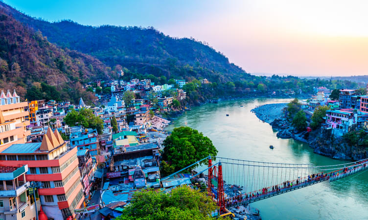
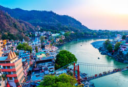
- Haridwar
- 4D/3N
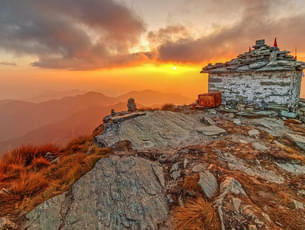
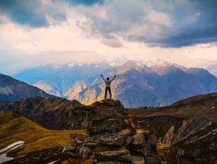
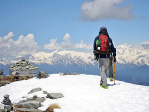
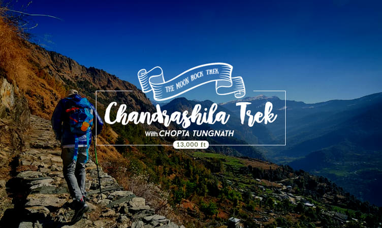
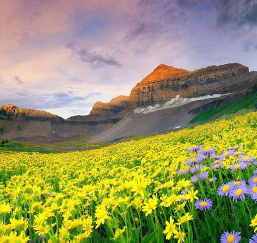
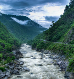
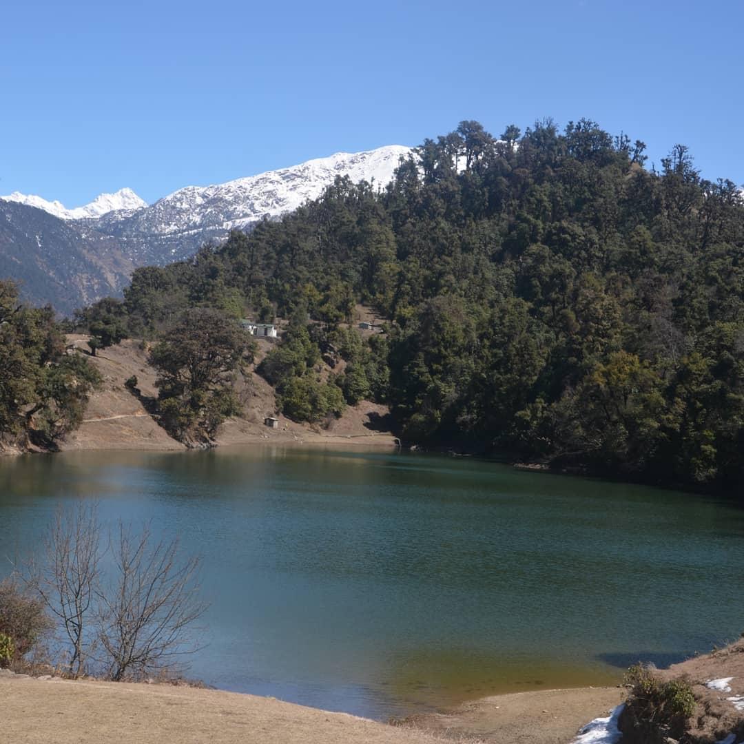
Chandrashila Trek with Chopta Tungnath Highlights:
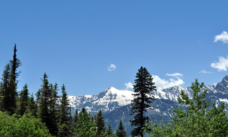
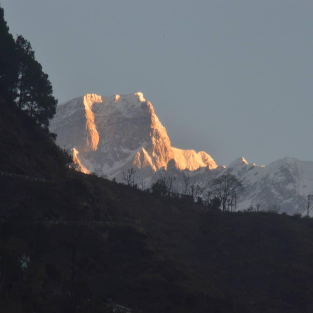
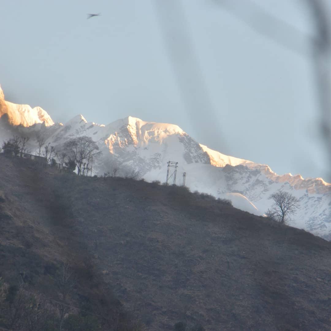
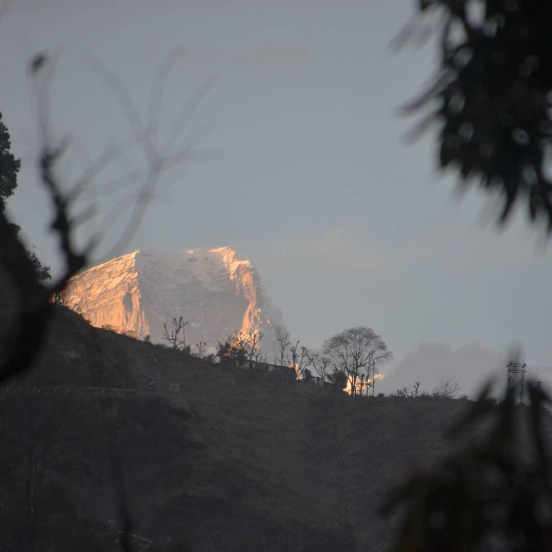
- The summit views including the high mountain peaks in the Himalayas with snow-caps on them are the major highlight of the trek.
About the Destination:
- Day Temperature: 8°C to 15°C
Meals during Chandrashila Trek with Chopta Tungnath:
Stay during Chandrashila Trek with Chopta Tungnath:
How to reach?
Haridwar has a railway station which is well-connected from all metropolitian cities and nearest airport is Dehradun - Jolly Grant.
Best of

.jpg?gravity=center&width=90&height=90&crop=fill&quality=auto&fetch_format=auto&flags=strip_profile&format=jpg&sign_url=true)


- 7D/6N
- 7D/6N
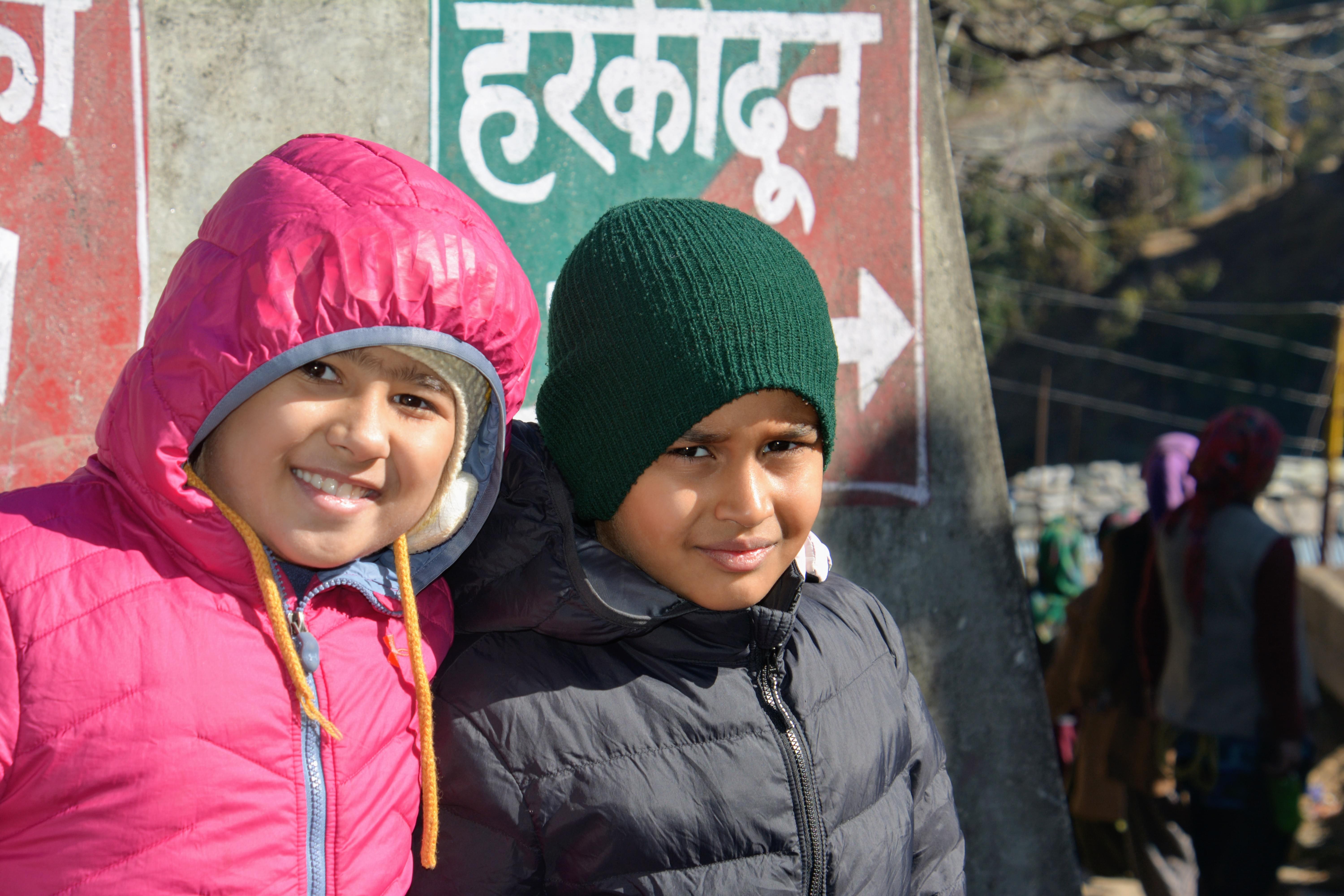
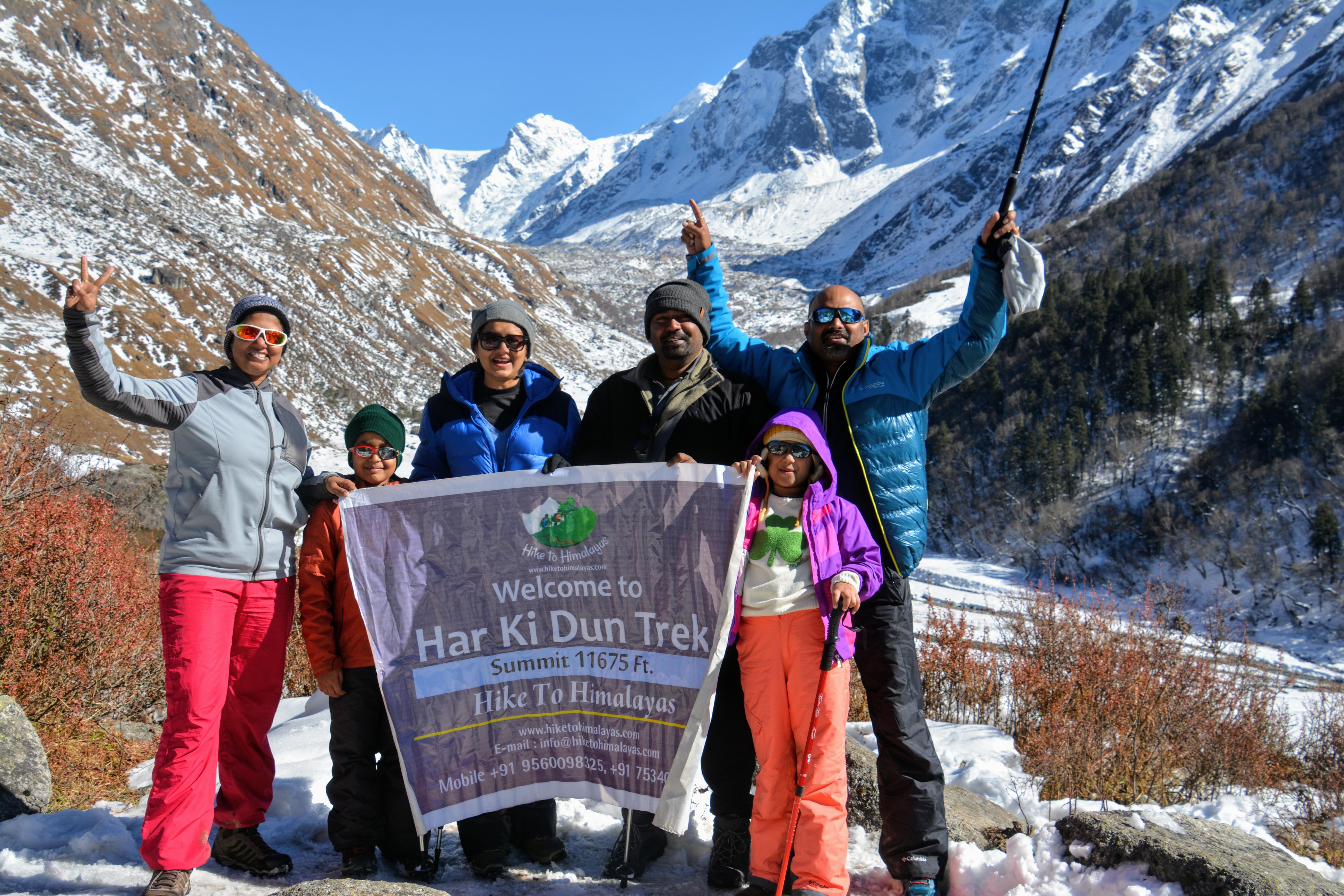
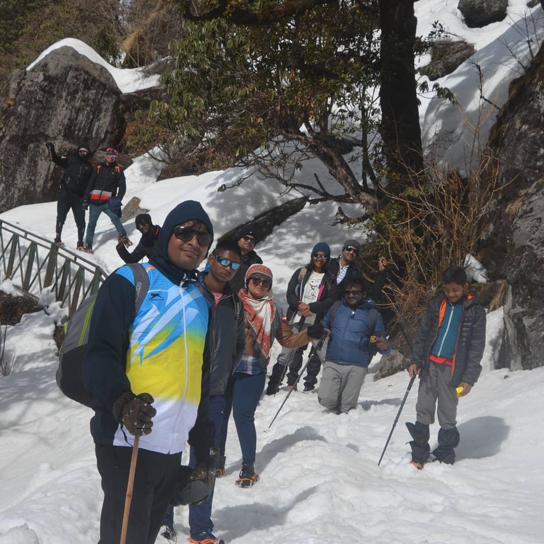
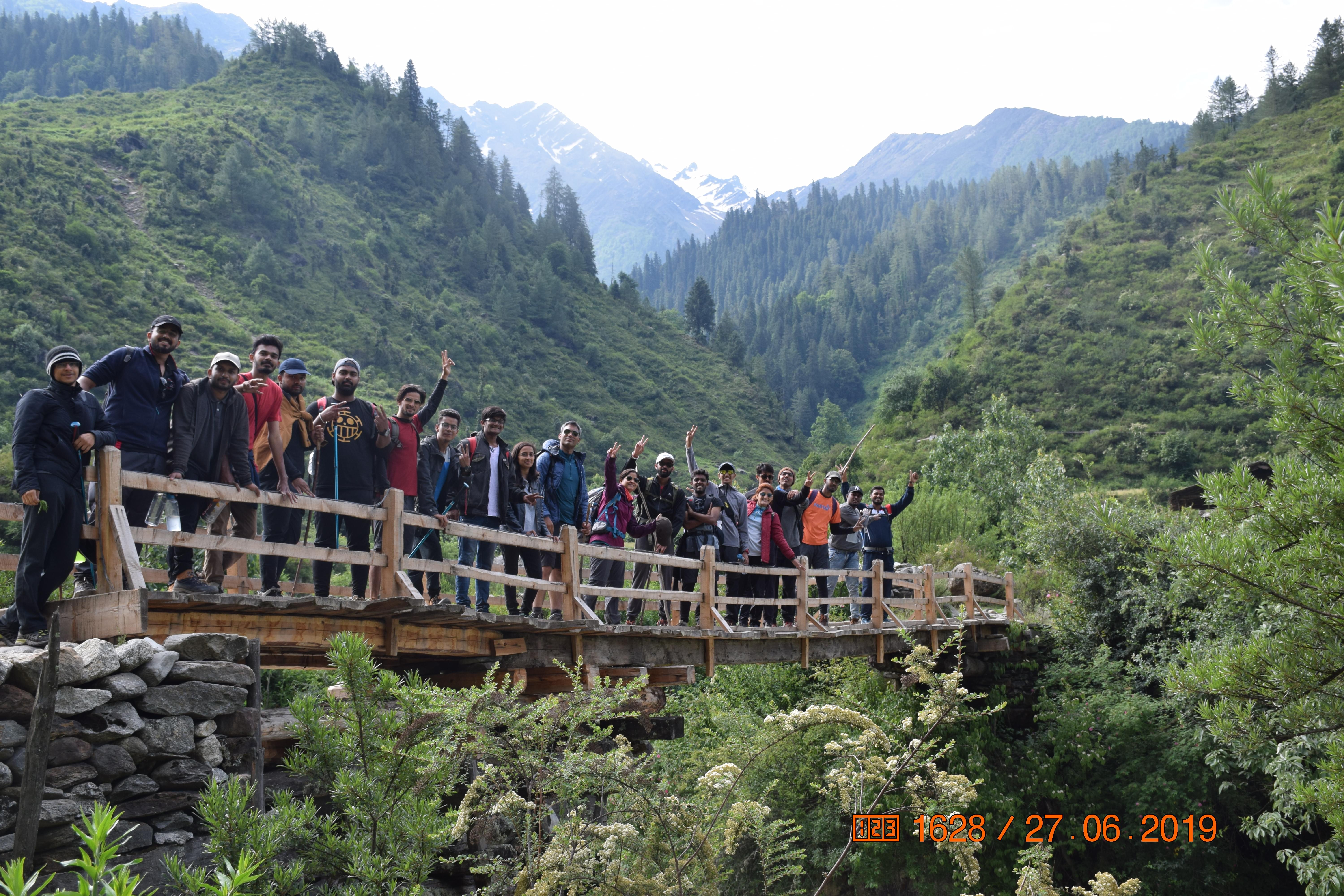
This Har Ki Dun trek is heaven for nature lovers, adventure seekers and also shutterbugs. Capture some of your best shots while you head out for this trek. Refresh yourself with some hot cup of tea every morning before you head out for the trek.
Meals during Har ki Dun Trek:
Breakfast, lunch and dinner (vegetarian) are included in the package
Stay during Har ki Dun Trek:
Variant 2: Har Ki Dun - Ex Dehradun INR 12000 per person
How to reach?
Dehradun has a railway station which is well-connected from all metropolitian cities and nearest airport is Jolly Grant.
.png?gravity=center&width=752&height=450&crop=fill&quality=auto&fetch_format=auto&flags=strip_profile&format=jpg&sign_url=true)
Best of


- 6D/5N
- 6D/5N
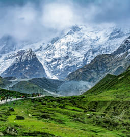
About the Kedartal Trek:
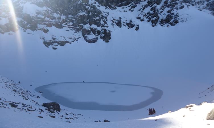
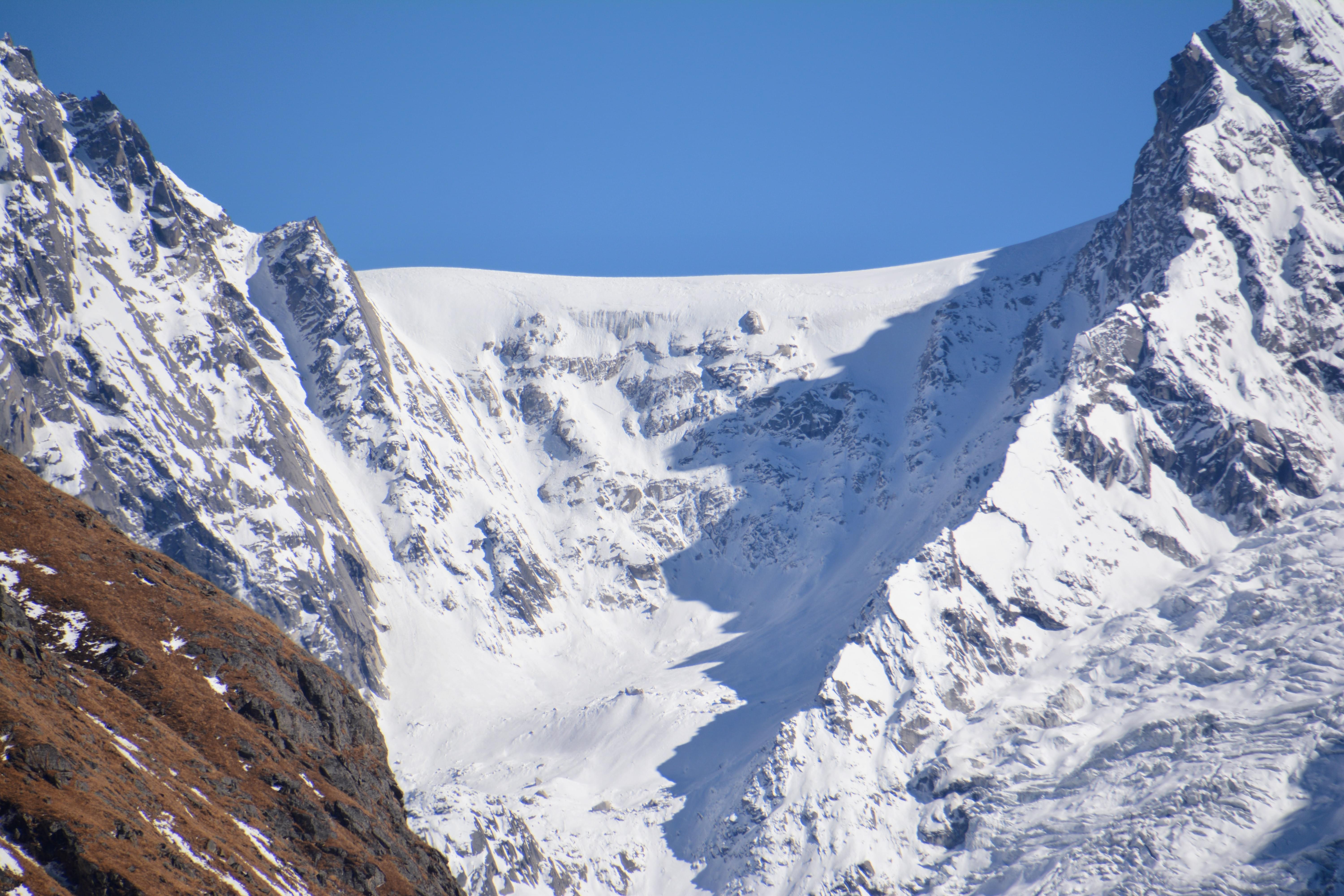
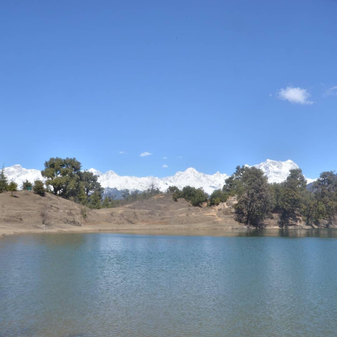
Kedar Tal near Gangotri is the most sought-after destination in Uttarakhand. An enchanting lake situated next to Kedar Bamak Glacier at the foot of the enormous Thalaysagar and Brigupanth Peak. Kedar Tal is one of the most beautiful high altitude lakes in India at a height of 15583 ft. It catches surreal glimpses of the holy site of Gangotri, which goes through the rough trails encircled by fir and bhoj and alpine trees. Tread the hardest trekking routes that lead you to Bhoj Kharak, Kedar Kharak, and Kedartal, relish the utmost beauty possessed by the glacial valleys. The entire Kedar Tal location offers you numerous breathtaking views.
Quick Facts About Kedartal Trek:
Kedartal Trek Duration: 5N/6D
Maximum altitude: 15,583 ft.
Kedartal Trek difficulty: Moderate
Kedartal Trek distance: 38 Kms
Temperature: Day: 12°C to 17°C & Night: -1°C to 3°C
Kedartal Trek Best Time: May, June, September and, October.
ATM: You will find ATMs at Uttarkashi
Start Point/End Point: Gangotri
Best of


- 11D/10N
- Kathgodam
- 11D/10N
About the Nanda Devi East Base Camp Trek:
- The journey starts with your arrival in Kathgodam, from where you will drive towards Munsiyari. After a night in the guesthouse there, you will trek to Lilam the next day. Spend a day in the tents here.
- Feel the trans-Himalayan trekking experience as you trek through Bogudiar, Rilkot, and Ghanghar before trekking to the Pachu Glacier with overnight stays in tents every night.
- From Pachu Glacier, you will explore the base camp for a day, before starting the return trek the next day. You will trek to Martoli, Rargari, and Munsiyari, staying at every location for a night.
- On the last day, you will be transferred from Munsiyari to Kathgodam to bring the Nanda Devi East Base Camp trek to an end.
About the Nanda Devi:
Home to some of the most majestic peaks in the country, Uttarakhand is also the home to the second highest peak of the country, the Nanda Devi. One of the most beautiful peaks in the Himalayas, the mountain is of significant importance to the locals. This Nanda Devi East Base Camp trek leads you to the base camp on the eastern face of the peak, which is also the home to Pachu Glacier. Leading from an ancient trade route that was once home to a large civilization, the trek takes you to the base camp of Nanda Devi.
The Nanda Devi East Base Camp trek starts and ends at Kathgodam, passing through Munsiyari, Lilam, Bogudiar, Rilkot, Ghanghar, Martoli, and Rargari. The scenic beauty of the snow-clad peaks, the surreal nature that prevails around the peak, the exotic range of flora and fauna in the vicinity has earned it the fame of being one of the most magnificent peaks in the world. Originating from Munsyai, Uttarakhand, this high altitude trek takes you through some of the exhilarating passes, winding trails, lush forests and several pictorial meadows. Following the ancient trade routes between India and Tibet, this astounding trek also offers glimpses of life in the higher altitudes and several cultures that are indigenous only to the Trans Himalayan Range.
Quick Facts About Nanda Devi East Base Camp Trek:
Nanda Devi East Base Camp Trek Difficulty Level: Difficult
Altitude: 13,123 ft
Best Time: May to June & September To October.
Best of
.jpg?gravity=center&width=90&height=90&crop=fill&quality=auto&fetch_format=auto&flags=strip_profile&format=jpg&sign_url=true)


- 7D/6N
- Haridwar
- 7D/6N
Maximum Altitude: 4,400m
Temperature Range: May to June: 11 to 23-degree; October to December: 3 to 19-degree
About the Destination:
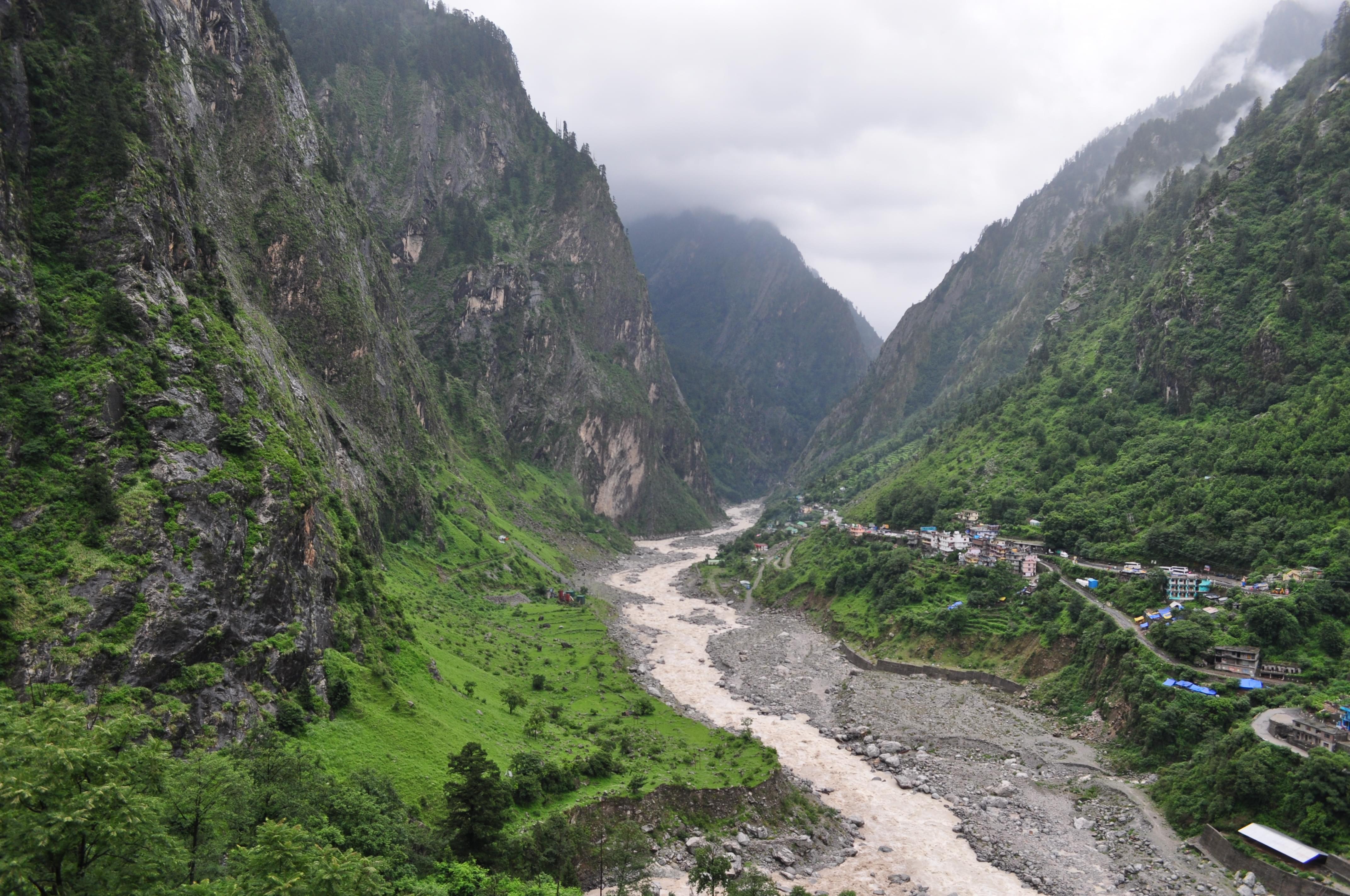
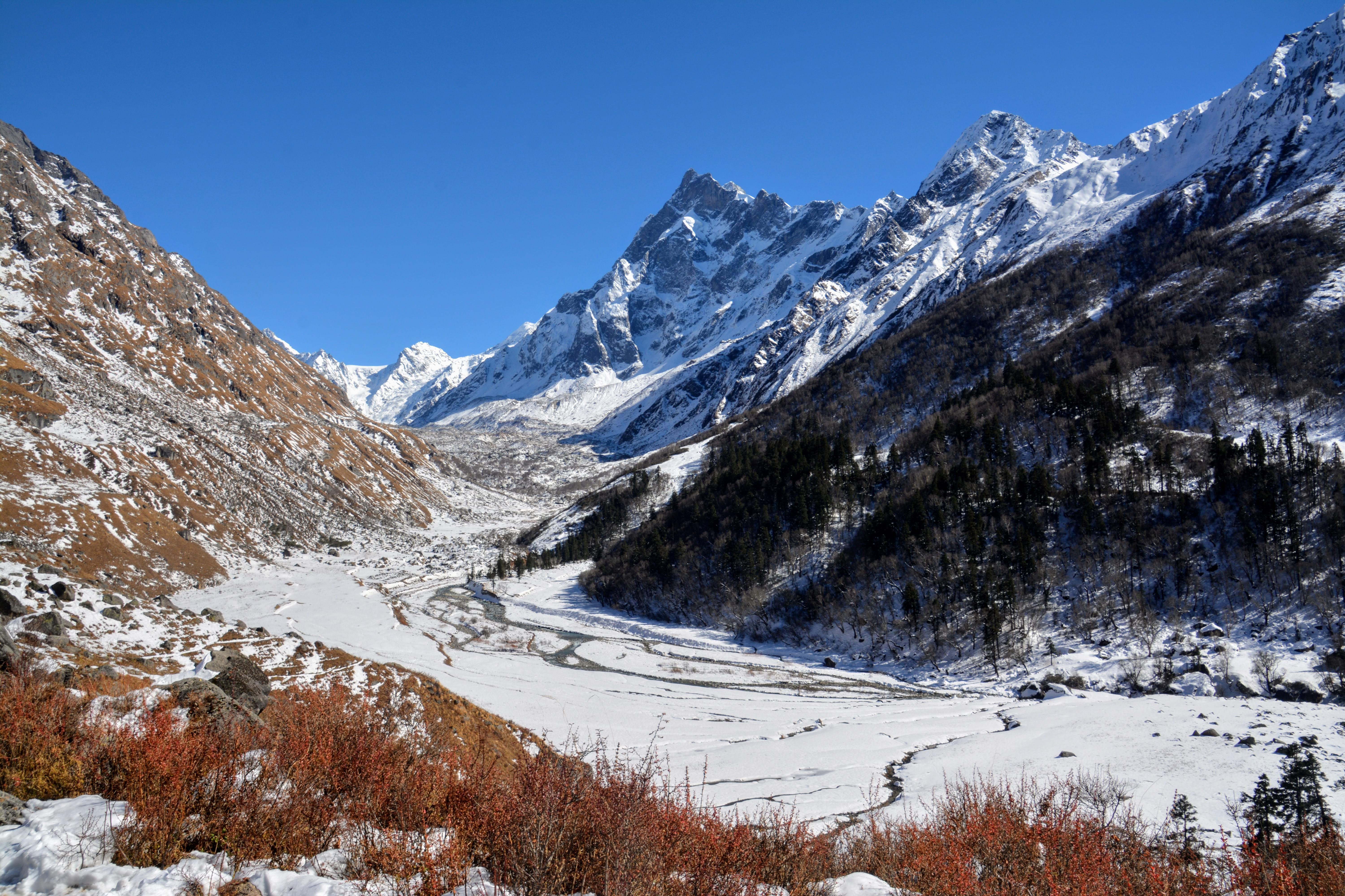
Gangotri trek is located at an elevation of 3159 meters and marks the convergence of the Kedar ravine and the Bhagirathi River. The area is naturally diverse with lush green grasslands that are amongst the best in the country. The Gangotri Glacier which is the source of the River Ganga is one of the largest in the Himalayan region. The Gangotri Glacier Trek goes through lush green meadows, glaciers and rivulets. The Tapovan area is the base camp for several trekking expeditions and features beautiful meadows with flowers, rivulets and streams, snow-capped mountains and valleys. These flowering meadows are the best high altitude meadows you can find in the Himalayan region.
About Gangotri Trek:
The Gangotri glacier is one of the primary sources of holy river Ganges and there are many mythological stories associated with the origin and descent of the Ganges.
This tour explores various such points starting from the sacred city of Rishikesh, which is also known as the “Gateway to the Himalayas”. After reaching Uttarkashi which is the base for many trekking expeditions, you reach Gangotri. The Gangotri trek starts from here which will take you through Bhojbasa as you walk alongside River Bhagirathi.
Get close to the mountains when you cross the Gangotri glacier and reach Tapovan known for its scenic landscape. The mighty Bhagirathi group of peaks and Neelkanth Peak are a spectacular view from here. The entire Gangotri trek is through pine forest and flowering valleys.
Gangotri is also one of the destinations of the ‘Chota Char Dham’ pilgrimage tour. Apart from religious belief, if you are an ardent nature lover, then this trip will give you a mix of both spiritual fulfilment and instant gratification of your finer senses. As a part of daily hygiene protocol, proper care of hygiene and sanitation is maintained all through to ensure the utmost care and personal safety of the guests.
Best of


- 8D/7N
- Kathgodam
- 8D/7N
The season for this trek is over for this year you can look at other Himalayan treks.
About the Roopkund Trek:
Blessed with deep virgin forests, gurgling brooks, breath-taking campsites and the beckoning meadows Roopkund trek is a must do trek for you. Get a chance to taste adventure as you climb from 8,000 ft to 16,000 ft in a period of 8 days. The adventure starts for you from the second day onwards as you start trekking to Roopkund Glacial lake. Take the Lord Curzon trail starting Lohajung and follow a steady uphill trek through the Lohajung Pass and then reach the Bedni River.
Get a chance to admire the stunning view of the Garhwal Himalayan ranges as you trek from Didna Village to Ali Bugyal on your third day. On your fourth day, you will be trekking from Ali Bugyal to Ghora Lotani and witness the beauty of the Himalayas. Also, spot a Himalayan Magpie on the way. On your fifth day you will be trekking from Ghora Lotani to Bhagwabasa, here you will face the challenges of high altitudes, zig-zag trails and the icy cold winds. Passing through Kalu Vinayak, you will finally reach Bhagwabasa.
On your sixth day, you will pass from Bhagwabasa to Roopkund Lake and then to Bedni Bugyal. The uninhabited landmark in the laps of Mt. Trishul has overwhelmed many travellers with its innumerable stories. Admire the charming Garhwal Himalayas in full glory extending up to Gangotri. On your seventh day you will start trekking back from Bedni Bugyal to Lohajung and pass through the hundreds of blooming rhododendrons and then take a steep turn for the Neel Ganga and arrive at Wan. You will complete you trek on the eight day. Roopkund trek is definitely the one which will make your dream come true of trekking in the mountains.
About the Roopkund:
A trek to Mystery Lake of Uttarakhand i.e. Roopkund Lake is a must-do for an avid trekker! Battling several adversities common to the Himalayas, this water body perched in the laps of the snow-clad Mt. Trishul is situated at an altitude of 16,499ft.
Most attractive for the human skeletons lying at the bottom of the lake, which are distinctly visible when the snow melts, the lake is swarmed by the plenitude of visitors.
The route along the Roopkund trek is a fascinating journey of discovering the most pristine of the Himalayan contribution of oak and blooming rhododendron forests. A moderate trek, the trek trails through mountainous rivers, enthralling ridges, lush forests and scenic meadows.
Roopkund Trek Highlights:
- Feast your eyes as you see the gurgling brooks, breath-taking campsites during this amazing Roopkund trek.
- Enjoy camping near the cascading water and the clean night sky under the billions of stars. Also, enjoy a small bonfire with your friends.
- Trek through some of the most alpine and forests of fir, Rhododendron, and Oak.
- Get a chance to witness the rare flora and fauna of this region as you continue your trek.
- Feast your eyes at the majestic view of the Mt Trishul looms over the place as you continue climbing.
- Enclosed by mountains, this is the perfect place for taking some amazing photographs.
- Admire the imposing Chaukhamba range, Neelkanth peak, Kedarnath, Kedar Dom.
- Spend some time staring at the might white peaks and pass through the small streams on your way.
- And also meet the local people here and share a cup of tea while you learn about their culture.
Quick Facts About Roopkund Trek:
Temperature: Day: 13 to 18°C and Night: -5 to 7°C
Roopkund Trek Distance: 53km
Maximum Altitude: 16,499 ft
Roopkund Trek Difficulty Level: Moderate To Difficult
Railway Station: Kathgodam Railway station is the nearest railway station
Base Camp: Lohajung
Best of


- 6D/5N
- Haridwar
- 6D/5N
Start Time of the trek: 6:30 AM (Day 1)
End Time of the trek: 6 PM (Day 7)
Group departures:
Meals during Kuari Pass Trek:
Breakfast, lunch and dinner (vegetarian and non-vegetarian) are included in the package
Stay during Kuari Pass Trek:
How to reach?
Haridwar has a railway station which is well-connected from all metropolitian cities and nearest airport is Dehradun - Jolly Grant.
Best of

- 15D/14N
- Dehradun
- 15D/14N
About the Kalindi khal Trek:
A challenging Kalindi khal trek nestled in the lap of the majestic Himalayas, feel a rush of adrenaline in your blood as you scale right up to a Himalayan pass 6000m high. Not just that, this mesmeric place is a spiritual haven decorated by gorgeous mountains and the grandeur of nature.
Kalindikhal trekking expedition starts from Gangotri banked beside the Ganga waters. After seeking the Gangotri goddess’s blessing start off on your journey to Gaumukh, the birth point of the holy Ganges River. Get enchanted by the grasslands at Tapovan and mesmerized by several rivulets and peaks of Shivling, Bhagirathi and Meru.
From camping beside the Vasuki Tal, to breathtaking sceneries that include moraine, glaciers and majestic peaks, this tour has it all. After several briefing sessions on the safety measures to be taken on this trek, prepare to encounter the many splendours of nature.
About the Kalindi Khal:
Perched at a mind-numbing altitude of over 6,000 meters, Kalindi Khal is one of the most offbeat and challenging trekking destinations in India. Bursting will thrill and adventure, the Kalindi Khal trek borders on a proper expedition, and consequently demands some prior knowledge of technical and mountaineering skills. The initial leg of the trek traces the Gaumukh trail, and passes Chirbasa, Bhojbasa, Gaumukh, Nandanvan, Vasuki Tal, Mana and Badrinath. The trek begins from Gangotri, and exposes you to mind boggling views of the majestic Bhagirathi peaks, and the lofty mount Shivling, which can be seen rising from base to summit in stark entirety!
From Gaumukh, the trek takes place entirely on a stunning glacier which is carpeted with lots of crevasses! These glaciers keep shifting and breaking on and off, which adds to the challenging level of the trek. Since the glaciers keep breaking, the route is not well defined, and needs to be carefully traversed. The trail is treacherous, and if one doesn’t have a decent sense of direction, it is easy to get lost. To get to Vasukital, you must traverse an extremely narrow ridge with steep inclines. The thrill of climbing a petrifying ice wall with a 60 degree incline awaits you, which descends to glaciers laden with crevasses on the other end!
Vasuki Tal, cradled atop 4,900 m is the origin of the Vasuki Ganga that eventually meets Mandakini. The trek to the Kalindi Summit winds through Kalindi Pass, which is quite daunting and equally perilous. It demands exhaustive technicalities on a steep glacier, but the view from the top overshadows all exhaustion! The trek ends at the quaint little village of Mana, which is also the last village of India, beyond which lies the Chinese frontier! There are few other treks that have the privilege of being fenced by such beautiful Himalayan wonders. If you’re looking for some real Himalayan adventure, count on the Kalindi Khal trek to satiate your craving.
Quick Facts about Kalindi Khal Trek:
Temperature Range: The temperature varies from 10-18 °C, -8 to 5°C, 8-15°C and -10 to 5°C
Trekking Distance: 90Km
Kalindi Khal Trek Difficulty Level: Difficult.
Best of


- 6D/5N
- 6D/5N
About the Dayara Bugyal Trek:
Amongst all the treks in Uttarakhand, Dayara Bugyal is considered to be the most breathtaking trek. The trek brings us to a highland meadow situated in the Uttarkashi district of Uttarakhand which stands tall at an elevation of 10,000-12,500ft.
This lush green expanse of meadows serves as an excellent destination for skiing during winter and is spread over 28 sq km. This breathtaking location is nestled amidst towering snow-peaked mountains. While on this memorable Himalayan Dayara Bugyal trekking tour in India at Uttarakhand, catch sight of the lake of Barnala Tal strewn across the green alpine prairies– in whose reflection the peaks look even more beautiful.
The trek starts from the tiny hamlet of Barsu nestled on the Haridwar-Gangotri road which is 32 km from Uttarkashi. One can settle in any one of the rest-houses or GMVN houses in Barsu that overlook the stunning valley on one side and the snowy mountains on the other.
The route of the Dayara Bugyal Trek trails through gorgeous Oak forests, clear water bodies and sprawling grasslands while offering views of specks of huts, grazing sheep all while overlooking the valley and high-rise mountains. Wildflowers also bloom around streams and brooks that run across the pastures.
About the Dayara Bugyal:
The breathtaking alpine meadow of Dayara Bugyal reigns atop a staggering 12,000 ft., against a stunning canvas of lofty Himalayan neighbours like Bandarpoonch, Kala Nag, Shrikhand Mahadev, Srikanth peak and Gangotri peaks. The Dayara Bugyal trek is marked by a rich carpet of wildflowers, and dense forests of maple and oak fenced by misty valleys. The highland meadows invite skiers from over the country during winters, when the place receives heavy snowfall. The trail unveils expansive grasslands, alpine lakes and trickling streams that lull the senses with a sylvan symphony. Besides the splendour of the landscape that Dayara Bugyal offers, trekkers also get a rare glimpse into the fascinating cultures of a Himalayan village. As another highlight, trekkers get to witness the dynamic beauty of the rhododendron flowers that grace the trails of the trek.
The Dayara Bugyal trek starts from the quaint little village of Barsu in the Uttarkashi district of Uttarakhand. Given its easy to moderate level, it also serves as an ideal pick for beginners. It is also not uncommon to see herds of cattle grazing in the sprawling grasslands, accompanied by shepherds. The lush green expanse snuggled in the laps of Himalayan giants is the perfect respite from the humdrum of life. It is a whisper of untamed wilderness to the hearts of trekkers, who flock here every year in search of tranquillity and peace. The wondrous grasslands of Dayara Bugyal are locked in a Himalayan embrace and make for an ideal long weekend trek. Those who wander into this world of untouched beauty leave with far more than what they seek.
Quick Facts About Dayara Bugyal Trek:
Temperature: -4 degrees (Min), 25 degrees (Max), days are relatively warmer
Dayara Bugyal Trek distanceTrekking Distance: 29 km
Maximum Altitude: 12,000 ft
Difficulty Level: Easy To Moderate
Railway Station: Haridwar is the nearest railway station
Airport: Jolly Grant Airport, Dehradun
Base Camp: Barsu
ATM: Uttarkashi and Bhatwari on the way Barsu have the last ATM point before your trek begins.
Best of


- 8D/7N
- Dehradun
- 8D/7N
Departure Dates:
Oct: 5,12
About the Rupin Pass Trek:
Rupin Pass trek is another beautiful trek which will take you through a journey of some of the most unexplored parts. Pass through Mori, a little picturesque hamlet that rests on the banks of lovely Tons River. You can pay your respects at Pokhu Devta, an ancient place of worship and then begin your trek. The trek takes you through some of the majestic scenes of the region. Trek amidst rhododendron woodlands and fields and spend some time admiring the beauty of nature.
Although your trek might be a difficult one, but the views will definitely make you feel happy. Pass through the through some small hamlets and get a fine whiff of their local culture and lives. Come across the lovely waterfalls and the famous hanging village at Jhaka Village. Feel the thrill as you make your way through the snow bridges which will be something unique. Continue Rupin Pass trekking through the forests of fir, Rhododendron and Oak.
The passage and exit to the woodlands are again so sudden that you will feel that it is a film setup around you. Get entranced y the views of lofty Kailash Peak while you reach towards the finish of Rupin Pass trek. Witness the magnificence of the two-story temple of Kinnauri culture at Sewa which is altogether different from its encompassing. You will cover a distance of 52 km within a period of 8 days. Get ready for this exciting Rupin Pass trek along with your friends and explore the beauty of nature.
About the Rupin Pass:
Perched at a high altitude Rupin Pass trek is another most sought off trek which is a must do for you. Make your vacation special as you head out to this beautiful trek. This trek will take you through some of the unknown parts which are waiting for you to explore. The Pass is perched at 4600m in the surreal Himalayan mountain range of Himachal Pradesh. The trek holds some of the majestic views of the region with the snow-capped mountains and the verdant valleys.
Rupin Pass trek can be difficult at times but once you witness the beauty of the place you will just fall in love with it.Throughout, you will be greeted with stunning scenery such as cascades, verdant meadows, snow-kissed mountains, charming hamlets and big rivers. For starting trek you will first pay your homage at the Pokhu Devta, an ancient place of worship. Pass through the rhododendron woodlands, fields and ascending pictorial meadows.
The snowy trek trail will definitely challenge you. As you make your way through some hamlets, get a fine whiff of their local culture and lives. Also, enjoy fabulous views of Kinner Kailash range along with the hamlets that dot the Sangla Valley. Continue Rupin Pass trekking and you will come across superb snowfields which will definitely make you explore it more and more. Your ascents and descents on slippery mud, screen and hard snow are a part of the trek. Feast your eyes on the exotic waterfalls and the Jhaka village which is a uniquely positioned village at the utmost edge of the mountain. Get a chance to explore the vivid wildlife of this region with a variety of species of birds and animals. Also, meet the friendly locals and spend some time with them learning about their culture and history.
Rupin Pass Trek Highlights:
- Get a chance to witness the many waterfalls and stream through the trek. Feast your eyes as you see the thousands of waterfalls flowing down through such a height that it appears as they are falling straight from the sky.
- Enjoy camping near the cascading water and the clean night sky under the billions of stars. Also, enjoy a small bonfire with your friends.
- Trek through some of the most alpine and forests of fir, Rhododendron and Oak.
- Get a chance to witness the rare flora and fauna of this region as you continue your trek.
- Feast your eyes at the majestic view of the Kailash Peak right in front of you.
- And also meet the local people here and share a cup of tea while you learn about their culture.
Quick Facts About Rupin Pass Trek:
Temperature: Day: 13°C to 18°C and Night: 0°C to 7°C
Rupin Pass Trekking Distance: 52 km
Maximum Altitude: 15,250 Ft.
Rupin Pass Trek Difficulty Level: Moderate-Difficult
Railway Station: Dehradun is the nearest railway station
Airport: Jolly Grant Airport, Dehradun
Base Camp: Dhaula
ATM: Purola which is on the way to Dhaula has the last ATM point before your trek begins.

- 9D/8N
- Dehradun
- 9D/8N
Temperatures:
20°C Max/ -5°C Min
Maximum Altitude:
4,900 meters - Bali Pass
Highlights of Bali Pass Trek:
- Bali and the villages which come in the way while you head towards Bali Pass holds a majestic charm within them which will never leave a chance to make you feel amazed. This trek will give a life-changing experience.
- You will witness amazing wildlife while you enjoy this trek various Mammals such as Langur, Wild Fox, Indian Crested Porcupine, Yellow-throated marten, Wild boar, Blue Sheep/ Bharal and many more. You will also see some of the amazing birds which you would have even not heard about but you will be amused after seeing them such as Black Francolin, Koklass Pheasant, Kalij Pheasant, Brown-fronted Woodpecker, Himalayan Woodpecker, Scaly-bellied Woodpecker, Great Barbet, White-throated Kingfisher, Crested Kingfisher, Slaty-headed Parakeet, Himalayan Swiftlet, Snow Pigeon, Oriental Turtle Dove and many more.
- While you enjoy this trek filled with fun and thrill which will give goosebumps and you will feel an adrenaline rush you will also find that this trek soothes your eyes and fill you with immense peace.
- You will be witnessing mountains peaks and ranges along with some other prominent views such as Black Peak/Kalanag (6,387 m) (Visible on the way to waterfall camp from Seema), Swargarohini I (6,252 m), II, III (The entire Southern Face is prominently visible from near Ruinsara lake till the top of the pass), Banderpoonch (6,316 m) (Visible from top of the pass), Lower peaks - Har ki Dun peak, Hata peak, Ruinsara peak, Dayara Bugyal is also visible from top of the pass
- Not only wildlife and mountain peaks you will also be accompanied by some of the beautiful rivers such as the Yamuna during the first and last day's drive, Tons during first day's drive, Supin during first trek day, which originates from the confluence of several streams from Har ki Dun valley.
About the destinations:
About the Bali Pass Trek:
Note: The minimum possible age can be 16 years.


.jpg?gravity=center&width=245&height=183&crop=fill&quality=auto&fetch_format=auto&flags=strip_profile&format=jpg&sign_url=true)


.jpg?gravity=center&width=255&height=270&crop=fill&quality=auto&fetch_format=auto&flags=strip_profile&format=jpg&sign_url=true)


.JPG?attachment_model=Upload&attachment_name=photo)
.JPG?attachment_model=Upload&attachment_name=photo)
.JPG?attachment_model=Upload&attachment_name=photo)
.JPG?attachment_model=Upload&attachment_name=photo)
.JPG?attachment_model=Upload&attachment_name=photo)
.JPG?attachment_model=Upload&attachment_name=photo)
.JPG?attachment_model=Upload&attachment_name=photo)
.JPG?attachment_model=Upload&attachment_name=photo)
.JPG?attachment_model=Upload&attachment_name=photo)
.JPG?attachment_model=Upload&attachment_name=photo)
.JPG?attachment_model=Upload&attachment_name=photo)
.JPG?attachment_model=Upload&attachment_name=photo)
.JPG?attachment_model=Upload&attachment_name=photo)
.JPG?attachment_model=Upload&attachment_name=photo)
.JPG?attachment_model=Upload&attachment_name=photo)
.JPG?attachment_model=Upload&attachment_name=photo)
.JPG?attachment_model=Upload&attachment_name=photo)
.JPG?attachment_model=Upload&attachment_name=photo)
.JPG?attachment_model=Upload&attachment_name=photo)
.JPG?attachment_model=Upload&attachment_name=photo)
.JPG?attachment_model=Upload&attachment_name=photo)
.JPG?attachment_model=Upload&attachment_name=photo)
.JPG?attachment_model=Upload&attachment_name=photo)
.JPG?attachment_model=Upload&attachment_name=photo)
.JPG?attachment_model=Upload&attachment_name=photo)
.JPG?attachment_model=Upload&attachment_name=photo)
.JPG?attachment_model=Upload&attachment_name=photo)
.JPG?attachment_model=Upload&attachment_name=photo)
.JPG?attachment_model=Upload&attachment_name=photo)
.JPG?attachment_model=Upload&attachment_name=photo)
.JPG?attachment_model=Upload&attachment_name=photo)
.JPG?attachment_model=Upload&attachment_name=photo)
.JPG?attachment_model=Upload&attachment_name=photo)
.JPG?attachment_model=Upload&attachment_name=photo)
.JPG?attachment_model=Upload&attachment_name=photo)
.JPG?attachment_model=Upload&attachment_name=photo)
.JPG?attachment_model=Upload&attachment_name=photo)
.JPG?attachment_model=Upload&attachment_name=photo)
.JPG?attachment_model=Upload&attachment_name=photo)
.JPG?attachment_model=Upload&attachment_name=photo)


.jpg?width=60&height=60)


.png?gravity=center&width=250&height=170&crop=fill&quality=auto&fetch_format=auto&flags=strip_profile&format=jpg&sign_url=true)