A Starter’s Guide to Roopkund Trek
Quick Jumplinks to Navigate
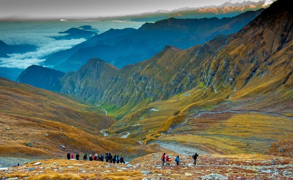
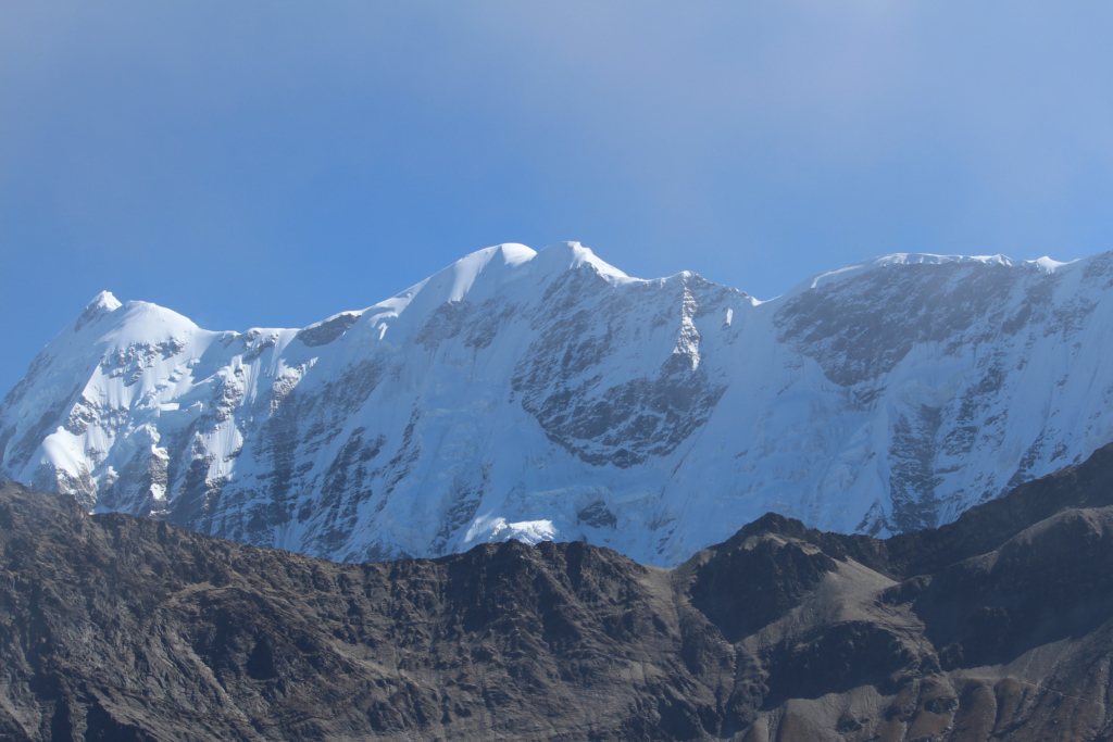
An idyllic trail that will astonish trekking enthusiasts, The Roopkund Trek in Uttarakhand is home to the mystical ‘Skeletal Lake’. The enchanted Trishul Peak that offers a picturesque sight during this stimulating expedition surrounds it. The trail points you to the frozen Roopkund Lake with its pious offerings in Nanda Devi, to create an all-embracing experience with the richness of culture, nature and adventure. You will witness opaque forest expanses with torrential streams across the savannahs as you meander into the generous wilderness of nature through the regions of Loharjung, Didina, Bugyal and Bhagwabasa among others. Arriving at the ‘Mystery Lake’ that houses remains of calamitous pilgrims will make you shudder, especially with the majestic vision of Roopkund Glacier, Choukhamba and Nandaghungti peaks in the backdrops.
How To Reach
The starting point of this trek is at Kathgodam, a small town in the Nainital district of Uttarakhand. It is accessible by railways and roadways, which are the only two ways to arrive in this beautiful clandestine settlement. The closest airport is the Pantnagar Airport, which is 71 kms away – you will have to rely on road transport or rails to arrive in Kathgodam. With well-connected rail systems, the Kathgodam Railway Station is linked to all major cities through standard trains. You can also travel by private or state run buses that ply from Nainital, Rudrapur, Moradabad, Chandausi, Haridwar, Rishikesh and Delhi among others.
Base Camp
Nestled amidst the Kumaon Ranges of the Himalayas, Kathgodam is a beautiful spot to relish nature and cultural heritage. A ride from here will take you through charming narrow roads to arrive at Loharjung, which will be your base camp for this trekking expedition. This little village rests at the edge of a hill and offers a picturesque view of the Nilganga valley. It stands at 2300 meters and will dazzle you with its lively sights. It has few lodging facilities and restaurants with small shops for purchasing daily need items. Your trek begins from here and will enthrall you beyond imagination.
Best Season To Visit
The Roopkund Trek takes you from the charmed Kathgodam Township through Loharjung, Didina, Bugyal, Lotani, and Bhagwabasa to reach Roopkund. With a moderate climate that persists for most months, summers last from April to June with a temperature that falls below 30°C. Winters lasts from December to February and can be quite harsh with temperatures dipping below freezing point. The months from July to November are considered to be appropriate to visit, with cool amiable winds that allow you to experience nature’s best-kept secret of the Himalayas.
About The Locals
With a rich history and a fascinating culture, these towns and villages in Uttarakhand is largely blessed with temples that are the pride of the locals. Observing the culture of this town, you will discover the traditions and practices, which are closely monitored and ritually followed. With a hike in tourism since the past decade or so, the people of the region have absorbed diversity and thus are very friendly to tourists. With their compassion and respect for travellers, they will make sure that your expedition is filled with memorable experiences. Elevation Points.This noteworthy trekking tour takes you from Kathgodam located at the foothills of the Kumaon Ranges at a height of 554 meters while offering you an exquisite panorama of sights. As you begin your drive from here to Loharjung that stands tall at 2300 m, your trek to Roopkund lies en route Ali Bugyal which summits a majestic 3350 meters height. Cross by Ghora Lotani that falls a few kms ahead and bypass Bhagwabasa that peaks at 4100 m. To experience the picturesque destination at Roopkund, you will ascend to its marvellous pinnacle at 5020 m.
Permits
Required Entry fees at certain check points, permits for the trek and obligatory forest camping charges in the region for the entire length of the trek will be required. Please carry your identification cards such as driving license or voter ID along with a passport size photo, a medical certificate ensuring your fitness for the trek and a disclaimer certificate ensuring your submission to voluntarily participate in this trek. Permits can be obtained at Loharjung where you have to pay camping charges to the Forest Officer.
Medical Advice and Emergency Numbers
A well-equipped first aid kit will be accessible with the guides throughout the duration of the trek. We recommend that you carry your own individual resource of first aid items such as medicines, antiseptics, insect repellents, prescription drugs etc. All precautionary measures shall be taken to ensure your safety yet there lays no harm in having awareness of the general know-how of healthcare. CPR and other common medical knowledge about altitude sickness (Acute Mountain Sickness) should be present. This illness is associated with trekking with symptoms that range from headache, insomnia, gastrointestinal issues, lung problems, ataxia etc. Please consult your doctor before your trip to procure prescription drugs for such possible situations and only consume them if required, as they are powerful and have strong effects, especially if taken during your trek.
As Roopkund lies within the region of District Chamoli, please keep with you at all times the following emergency contact details.
Uttarakhand Helpline: 0135 – 2710334, 0135 – 2710335, 0135 – 2710233
Army Control Number: 0135 – 2716201, 0135 – 2710925, 0135 – 2716201, 0135 – 2710925
Army Medical Emergency numbers – 18001805558, 18004190282, 8009833388
Police: 100 Fire: 101 Ambulance: 102
Chamoli Control Room – 01372-251437, 251077, 09411352136
Flood Information – 01372-251437, 09411352136
Advice and Expectations
This expedition is the perfect experience to enjoy the thrill of the Himalayas yet it holds extreme conditions and is generally considered to have a moderate to hard level of difficulty. Prepare thoroughly with regard to clothing and other protective gears to endure the unpredictable mountain weather, as it may get very cold. Keep your trekking gear safe and always keep essentials such as wind-proof jacket, dry socks and caps at hand. Make sure you choose correct and good quality footwear and fitted boots to avoid frostbites. Wear the right kind of socks to facilitate blood circulation. Carry a sturdy sleeping bag that is durable and comfortable. Carry a good quality backpack that can ensure harsh conditions of wear and tear, especially with a plastic or waterproof lining. Carry your identification proof as you might be expected to furnish it with the officials.
Things To Carry
– Durable good-quality trekking shoes
– Camping shoes for crossing streams
– Thick woolen socks
– Thermal inner wear
– Heavy fleece clothes
– Torch
– Whistle
– Covers to store used/wet clothing
– Winter jacket and water proof coat
– Trekking pants
– Woolen cap, gloves, etc.
– Sunglasses
– Sun screen lotion and other toiletries
– Water bottle
– Trekking pole
– First aid kit
– Personal medication
– Swiss knife
Attractions
Kathgodam – Kathgodam is situated adjacent to its twin town of Haldwani in the state of Uttarakhand. Literally meaning ‘timber depot’, Kathgodam is the centre of trade and commerce of the district. This charming town rests at the foothill of the Kumaon Ranges in the Himalayas and is its last railhead. It is perched at 554 meters and was an overlooked hamlet until the British took it on the Railway Map in 1909. The River Gaula and its dam located here is a superlative picnic abode. It is also adjacent to the Corbett Falls and the Bhimtal Lake, which is a famous romantic paradise.
Loharjung – A tiny settlement that is sited at the edge of a mountain, Loharjung has a striking view of the basins of Nilganga. It offers a placid and private abode to travellers, most of who pass through here to go across to the other charms of the area. Few restaurants are available here and very few lodging facilities are present. This is where you can obtain permits for your trek and enjoy amidst the serenity of nature.
Didina – Situated in the mountain terrains of Chamoli District, Didina boasts of mixed forests and beautiful meadows. Silk Worm rearing is a famous occupation in this village while the villagers also engage in farming of potatoes in the cultivable land along with goat and cow rearing. If offers a picturesque beauty along the ridge of farms with small houses that are scattered randomly across the village.
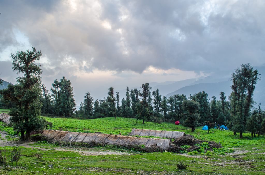
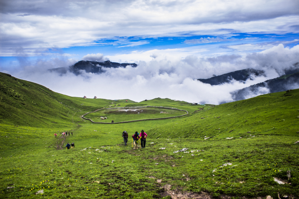
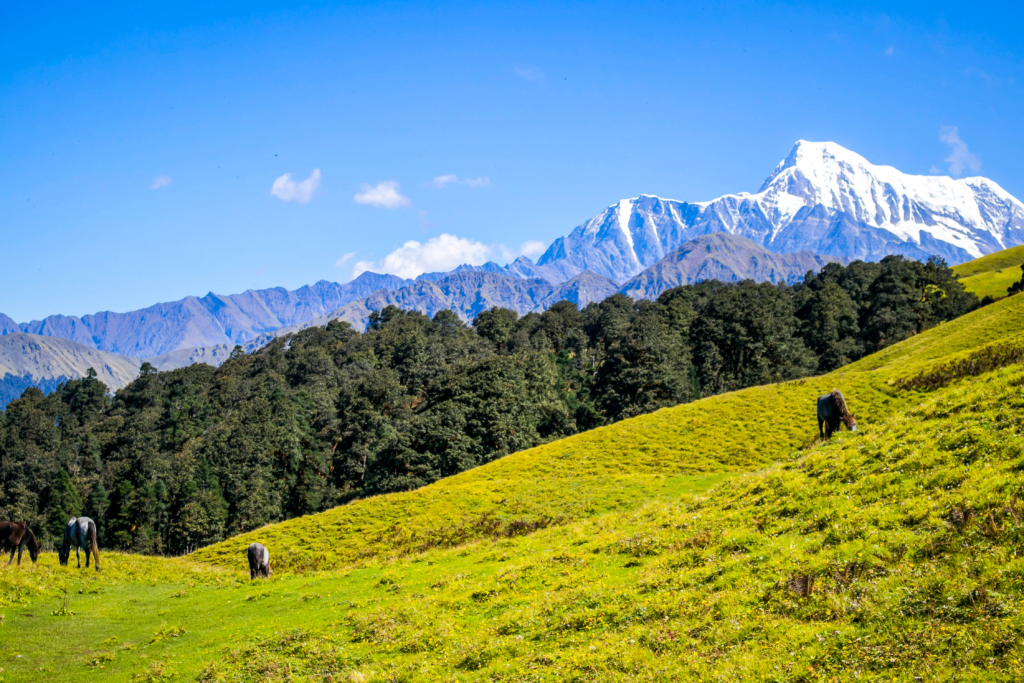
Ali Bugyal – Located at a majestic height of 3400 m, Ali Bugyal lies atop a mountain while treading through thick vegetation of oak, rhododendron and birch trees. With beautiful grassy terrains and green stretches, Ali Bugyal offers an enchanting view with misty winds and colourful treats. Horses and cattle commonly graze the area while a view of the Trishul Peak and Mrigthuni Peak forms an amazing backdrop to this mesmerising location.
Ghora Lotani – Literally meaning ‘Horse Return’, Ghora Lotani gets its name from the fact that the trekking route beyond this point does not allow horses to proceed, which thus have to return back. Barren lands and boulders smuggle the spread of the region while clouds of mist enclose the beautiful hilltops. Vegetation is not developed here and drinking water is not available which makes it a fleeting region for travellers to pass through.
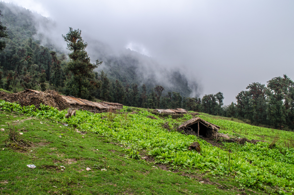
Bhagwabasa – A noticeably isolated location is what stands at Bhagwabasa with stone blocks on all sides of the trail. An array of abandoned stone huts ranging in size can be seen here and were rented out to trekkers in the past. These huts now stand destroyed but yet offer a great view amidst the misty backdrops with abundant cloud cover. The peaks of Nanda Ghunti, Trishul and Kali Dak can be clearly sighted from here
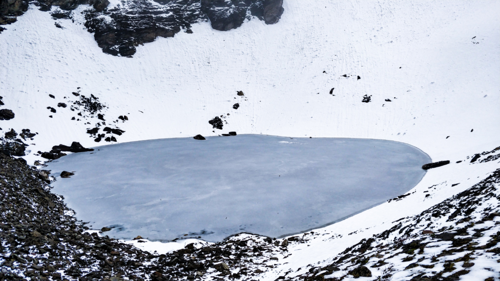
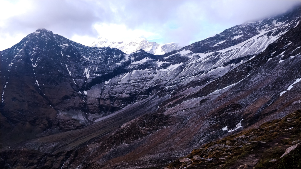
Roopkund Lake – A high altitude lake situated in Uttarakhand, it is located at an elevation of 5020 meters and is also called the ‘Mystery Lake’. It has a mystical history with remains and skeletons of humans and horses spotted here that are believed to be from the Palaeolithic Age (500-600 years ago). This lake is nestled amidst the panoramic scenery of mountains, rock-strewn glaciers and skeletal remains. Roopkund is a famous trekking destination among travellers with its mystical appearance.
Itinerary
Day 01: Drive from Kathgodam to Loharjung (2300 m)
Day 02: Trek from Loharjung to Didina (5 1/2 – 6 1/2 Hours)
Day 03: Trek from Didina Village to Ali Bugyal (3350 m) (2 1/2 Hours)
Day 04: Trek from Ali Bugyal to Ghora Lotani (3 km)
Day 05: Trek from Ghora Lotani to Bhagwabasa (4100 m) (2 km) (1 1/2 Hours)
Day 06: Trek from Bhagwabasa to Roopkund Lake (5020 m) – Bedni Bugyal (4 – 5 Hours)
Day 07: Trek from Bedni Bugyal –to Wan (6 Hours), Drive from Wan to Loharjung (1 Hour)
Day 08: Drive from Loharjung to Kathgodam
Tips And Tricks
– Hydrate two days before your trek – you must triple your water intake to avoid dehydration.
– Choose a shoe that is half a number larger than your normal size. It may be uncomfortable if one chooses a shoe size, which is one number smaller than your actual size. You may end up with sore fingers and blisters at the end of the trek. To avoid blisters, you can wear double layers of socks – a thin nylon one first followed by a thick Turkish sock.
– In case you carry your camera or a mobile phone, make sure you carry enough supply of plastic waterproof bags to keep them safe.
– Once you start trekking with the entire group, try and get your natural rhythm of walking. Never attempt to walk too fast or too slow as this can lead to premature fatigue.
– It is advisable to carry a windcheater but it is not advisable to wear it while trekking. During trekking, our body produces solid heat and to regulate that, the heated muscles of our body sweat profusely. In a humid atmosphere with a hot and perspiring situation, we aggravate it by wearing windcheaters. All in all, it leads to a suffocated feeling. Our advice is to carry a windcheater in your sack and wear it only when you take a long halt.
What is the best time for the Roopkund trek?
Roopkund Trek Guide advises you to take up the Roopkund Trek during the summer months of April, May, and June for the best experience. It is not at all recommended to take up the trek during the monsoon season.
What activities are included in the Roopkund lake trek?
The activities that shall be included in your Roopkund Trek are as mentioned below:
An adventurous trekking expedition all the way from Loharjung to the mystical Roopkund Lake.
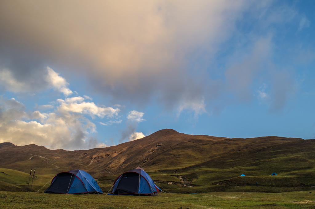
Camping at some of the most exquisite locations amidst the beautiful Himalayas.
Crossing some chilling yet astonishing streams flowing amidst the mountains.
Soaking in the views of the famous Roopkund Lake.
Admiring the beauty of Deadar and Sal forests along your way.
Witnessing the beauty of hidden waterfalls in Himachal Pradesh.
Relishing some hot food cooked right in front of you on the campsite.
Experiencing the essence of the untouched traditional villages and culture of the Himalayan mountains.
Which type of shoes should I carry for Roopkund Trek?
Consider carrying professional trekking shoes for walking along the hilly terrain.
You should also carry along a pair of camping shoes for crossing streams.
You should carry a few extra pairs of thick woolen socks along with your shoes to keep you warm during the extremely cold nights of Roopkund.
You can also seek advice from your Roopkund Trek Guide regarding the feasibility of your shoes for the entire trek.
What is the difficulty level of the Roopkund trek?
Due to the extreme climate conditions and steep hilly terrain, the Roopkund trek is a slightly moderate to difficult level trek.
One is highly recommended to have good health conditions along with a decent level of fitness to be able to easily complete the trek, whilst enjoying the same.
Your Roopkund Trek Guide shall help you in the best way possible to make your trek easy and enjoyable.
How long is Roopkund Trek?
The Roopkund Trek, which stretches over to 8 days and 7 nights is almost 53 kilometers long.
You shall be accompanied by a Roopkund Tour Guide through the entire trek to help you explore the trail in the best way possible. Out of the 8 days, you shall be trekking on your feet for almost 6 days with your Roopkund Trek Guide.
What is the height of the Roopkund trek?
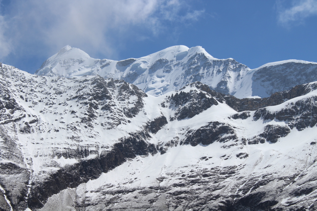
The height of Roopkund Trek is almost 5029 meters. The Roopkund Lake is surrounded by snow-capped majestic Himalayas and glaciers. The Lake has extreme temperature conditions all throughout the year and has a unique and mystical environment.
The nearest camping point where you shall be setting up your camps, with the help of your Roopkund Trek Guide for an overnight stay would be at Bedni Bugyal, which is at 3354 meters altitude.
